Loading...
Loading map...2022 Map of Upsala
USGS Topo · Published 2022About this map
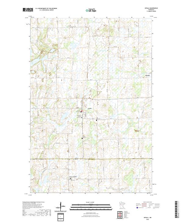
Upsala serves as the primary hub of this central Minnesota landscape, situated at the junction of Co Hwy 21 and N Main St. The surrounding terrain is defined by a dense network of wetlands and small water bodies, including Tamarack Lake and Lake Beautiful. The settlement pattern is deeply connected to local heritage, evidenced by the numerous religious sites and burial grounds such as Covenant Church Cem, Gethsemane Lutheran Church Cem, and Upsala Memorial Cem.
Find a feature on this map
81 named features on this map. Tap any name to fly to it.
Don’t see what you’re looking for? This feature index may not catch every label — zoom into the map to look around manually.
Map Details
Date Portrayed2022
Date Published2022
PublisherU.S. Geological Survey
Map TypeTopographic
Scale1:24000
Physical Dimensions24 x 29 inches
Editions of this 2022 Upsala Map
This is the sole edition of this map. No revisions or reprints were ever made.
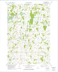
Historical Maps of Upsala Through Time
Featured Locations
Source Details
SourceU.S. Geological Survey
CopyrightPublic Domain