Loading...
Loading map...2022 Map of Valdez
USGS Topo · Published 2022About this map
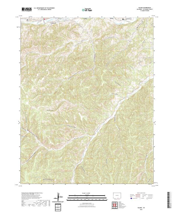
Valdez and Segundo anchor the northern corridor of this landscape where the Purgatoire River carves through the Picketwire Valley. The terrain is defined by a dense network of drainage systems, including the complex forks of Widow Woman Canyon and the winding course of Long Cr. This area reflects a history of small riverside settlements and upland ranching, with local travel routes like Madrid Canyon Rd and Rita's Canyon N Fork Trl navigating the steep draws and mesas.
Find a feature on this map
49 named features on this map. Tap any name to fly to it.
Don’t see what you’re looking for? This feature index may not catch every label — zoom into the map to look around manually.
Map Details
Date Portrayed2022
Date Published2022
PublisherU.S. Geological Survey
Map TypeTopographic
Scale1:24000
Physical Dimensions24 x 29 inches
Editions of this 2022 Valdez Map
This is the sole edition of this map. No revisions or reprints were ever made.
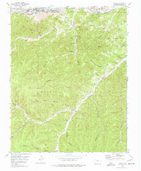
Historical Maps of Valdez Through Time
Featured Locations
Source Details
SourceU.S. Geological Survey
CopyrightPublic Domain