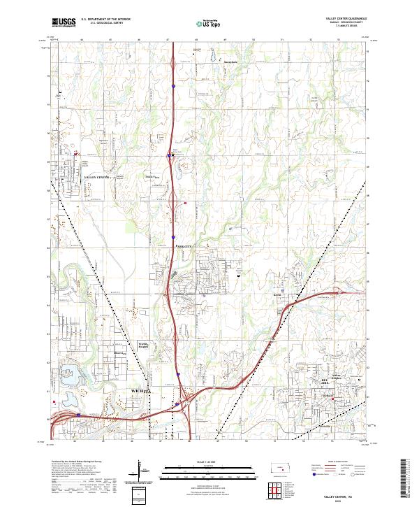
2022 Map of Valley Center
USGS Topo · Published 2022About this map
Valley Center serves as the focal point of this North Wichita landscape, where suburban expansion meets the agricultural legacy of Sedgwick County. The grid-based township and range system is evident in the layout of t25s r1w and t25s r1e, intersected by the branching corridors of Chisholm Creek and the Little Arkansas River. A concentration of small airfields, including High Point Airport and Hidden Valley Airport, highlights the region's historical and modern reliance on aviation infrastructure outside the main city limits.
Find a feature on this map
59 named features on this map. Tap any name to fly to it.
Don’t see what you’re looking for? This feature index may not catch every label — zoom into the map to look around manually.
Map Details
Editions of this 2022 Valley Center Map
This is the sole edition of this map. No revisions or reprints were ever made.
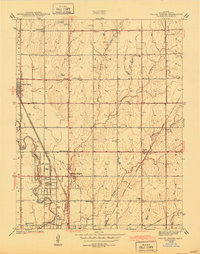
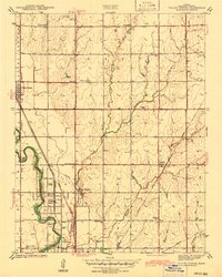
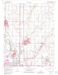
Historical Maps of Valley Center Through Time
5 maps found