2024 Map of Vida
USGS Topo · Published 2024About this map
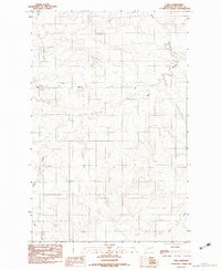
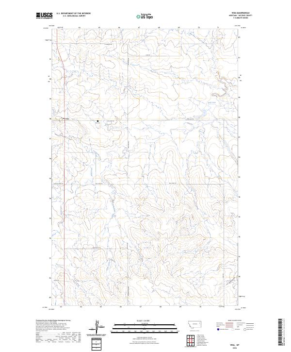
The small settlement of Vida anchors this survey of north-central McCone County, where a sparse network of section-line roads traverses the undulating drainage basins of the Missouri River plateau. The landscape is defined by its seasonal hydrography, with Wolf Creek and its tributaries, Presserville Creek and Watt Creek, carving shallow depressions through the prairie. Local infrastructure is concentrated around the junction of Vida East Rd and Frontage Road, where the Vida Cem serves as a primary genealogical landmark for the region. The map reveals the essential rural grid of eastern Montana, from the residential clusters at the townsite to the outlying reaches of Gold Gulch and Gady Coulee. This study of the high plains environment illustrates the enduring settlement patterns and land divisions of the Public Land Survey System in a region where travel and water remain the primary architects of human geography.
Find a feature on this map
23 named features on this map. Tap any name to fly to it.
Don’t see what you’re looking for? This feature index may not catch every label — zoom into the map to look around manually.
Map Details
Editions of this 2024 Vida Map
This is the sole edition of this map. No revisions or reprints were ever made.