2021 Map of Vivian
USGS Topo · Published 2021About this map
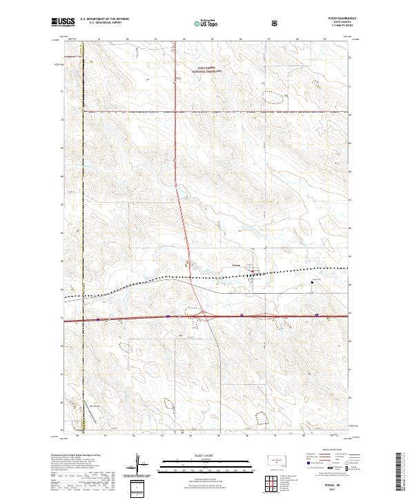
The town of Vivian serves as a central hub in this high plains landscape of central South Dakota. Situated along the corridor where modern highways intersect, the settlement's layout is clearly defined by Main Ave and C Ave, with the Vivian Cem located just to the east. The terrain is characterized by the meandering path of Medicine Cr and its tributary, the N Fork Medicine Cr, which flow through a region of drainage basins and modest elevation changes. To the north, the expanse of the Fort Pierre National Grassland dominates the map, indicating the transition into protected prairie environments. The boundary between Jones County and Lyman County runs vertically along the western edge of the sheet, where Oller Airport provides a small aviation waypoint in an area otherwise dedicated to open rangeland and sectional farming roads.
Find a feature on this map
21 named features on this map. Tap any name to fly to it.
Don’t see what you’re looking for? This feature index may not catch every label — zoom into the map to look around manually.
Map Details
Editions of this 2021 Vivian Map
This is the sole edition of this map. No revisions or reprints were ever made.