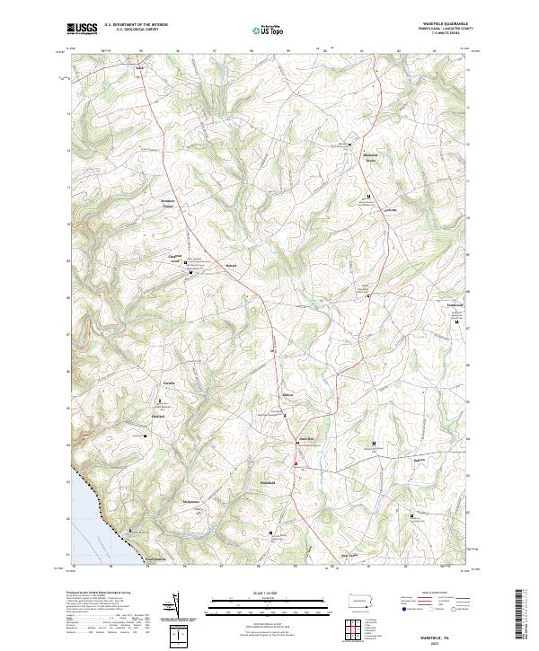
2023 Map of Wakefield
USGS Topo · Published 2023About this map
Wakefield and the surrounding rural landscapes of southern Lancaster County reveal a dense network of early crossroads settlements and religious sites. The area is characterized by its numerous historic church congregations and associated burying grounds, such as the Old Chestnut Level Presbyterian Cem and the Old African Methodist Episcopal Cem. This distribution of houses of worship, including the Bethel Mennonite Church and Little Britain Presbyterian Church, underscores the deep-rooted Scotch-Irish and Pennsylvania German heritage that has shaped the region's social geography.
Find a feature on this map
84 named features on this map. Tap any name to fly to it.
Don’t see what you’re looking for? This feature index may not catch every label — zoom into the map to look around manually.
Map Details
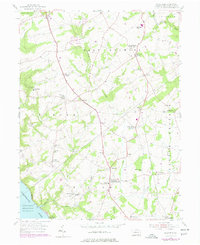
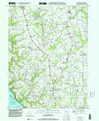
Editions of this 2023 Wakefield Map
This is the sole edition of this map. No revisions or reprints were ever made.
Historical Maps of Drumore Center Through Time
3 maps found
Featured Locations
- Providence Township, PA
- Drumore Township, PA
- Little Britain Township, PA
- East Drumore Township, PA
- Mechanic Grove, East Drumore Township