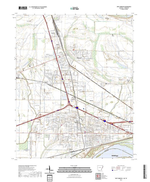
2024 Map of West Memphis
USGS Topo · Published 2024About this map
West Memphis and Marion anchor this 2024 survey of the Arkansas riverfront, illustrating a landscape defined by the intersection of major transportation corridors and the fertile alluvial plains of the Mississippi River. The city of West Memphis shows its modern layout near the West Memphis Municipal Airport and Arkansas State University - Mid - South, while the county seat at Marion centers on the Crittenden County Courthouse. Smaller communities and junctions like Presley Junction, Sunset, and Wylie Spur are dispersed across a terrain crisscrossed by Tenmile Bayou and Fifteenmile Bayou. Agricultural history remains visible in the expansive Lloyd Bottom area, while local genealogy is represented by several burial sites including Pleasant Hill Cem and Saint Johns Cem. The map captures the industrial and logistical importance of this border region directly across the river from Memphis, Tennessee.
Find a feature on this map
100 named features on this map. Tap any name to fly to it.
Don’t see what you’re looking for? This feature index may not catch every label — zoom into the map to look around manually.
Map Details
Editions of this 2024 West Memphis Map
This is the sole edition of this map. No revisions or reprints were ever made.
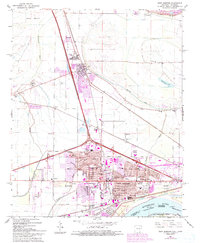
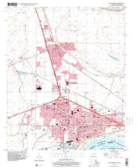
Historical Maps of Presley Junction Through Time
3 maps found