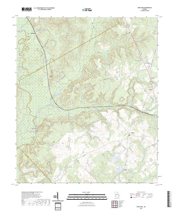
2024 Map of Westlake
USGS Topo · Published 2024About this map
The Ocmulgee River defines the northwestern boundary of this Georgia landscape, where the terrain rises toward Stephens Bluff. This modern U.S. Geological Survey representation traces a network of rural settlements and family-named landmarks including Westlake, Royal, and Coley. The map captures a transition between the river lowlands and the higher ground of the interior, marked by the drainage of Shellstone Creek and its southern branch. Local history is anchored by sites like Walker Cem and James Dykes Memorial Park near the river. Further south, the landscape is dotted with smaller water bodies such as Trunell Pond and the Paulk Lakes near the community of Paulk. The road network, including Coley Station Rd and Old Milledgeville Rd, reflects decades of agricultural and transit history through Bleckley, Twiggs, and Houston counties.
Find a feature on this map
51 named features on this map. Tap any name to fly to it.
Don’t see what you’re looking for? This feature index may not catch every label — zoom into the map to look around manually.
Map Details
Editions of this 2024 Westlake Map
This is the sole edition of this map. No revisions or reprints were ever made.
Other maps of this area

1956 · Cochran
USGS Topo · 1:62,500

1956 · Perry
USGS Topo · 1:62,500

1956 · Warner Robins
USGS Topo · 1:62,500

1956 · Jeffersonville
USGS Topo · 1:62,500

1957 · Macon
USGS Topo · 1:250,000

1958 · Macon
USGS Topo · 1:250,000

1964 · Macon
USGS Topo · 1:250,000

1973 · Hayneville
USGS Topo · 1:24,000

1973 · Klondike
USGS Topo · 1:24,000

1973 · Tarversville
USGS Topo · 1:24,000