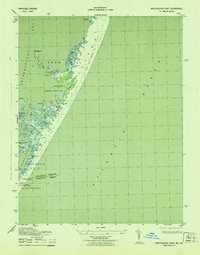
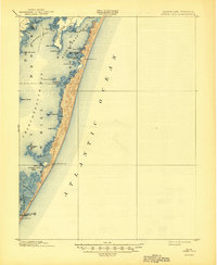
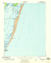
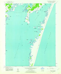
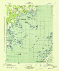
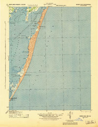
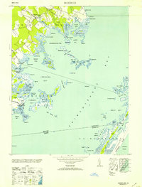
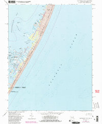
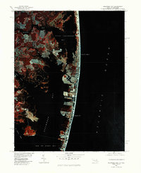
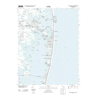
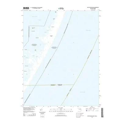
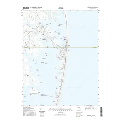
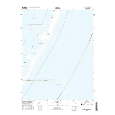
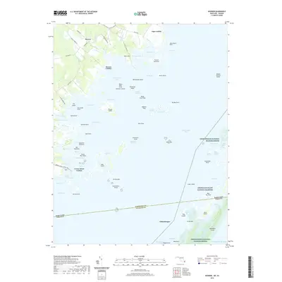
1943 Map of Whittington Point
USGS Topo · Published 1943About this map
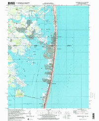
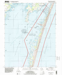
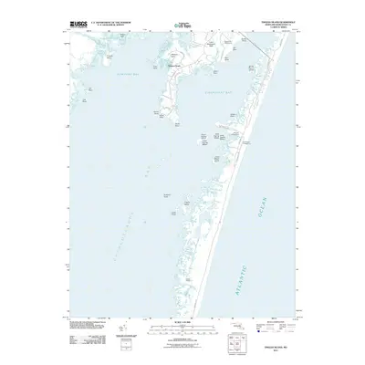
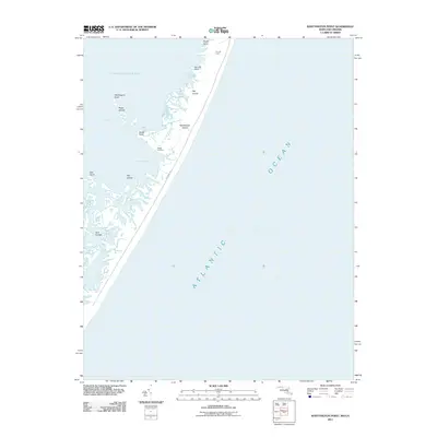
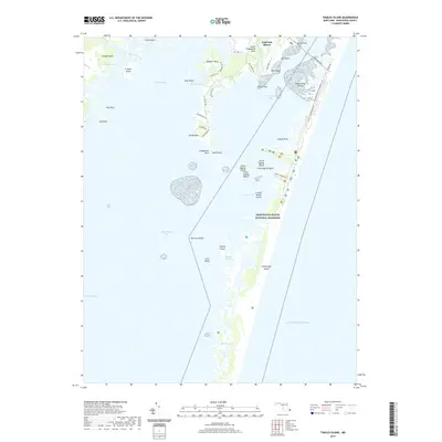
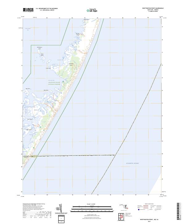
Chincoteague Bay dominates this coastal survey, separating the mainland from the slender barrier island that holds back the Atlantic Ocean. The landscape is a complex network of marshes and tidal guts, including Rum Harbor Marsh and Jims Gut, illustrating the shifting maritime geography of the mid-century Maryland-Virginia border. This area was essential for coastal defense and navigation, evidenced by the Pope Island Coast Guard Station and a dedicated Coast Guard Telephone Line stretching across the Sand Dunes.
Find a feature on this map
26 named features on this map. Tap any name to fly to it.
Don’t see what you’re looking for? This feature index may not catch every label — zoom into the map to look around manually.
Map Details
Editions of this 1943 Whittington Point Map
This is the sole edition of this map. No revisions or reprints were ever made.
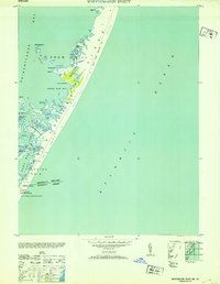
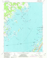
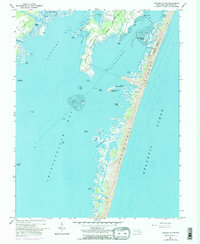
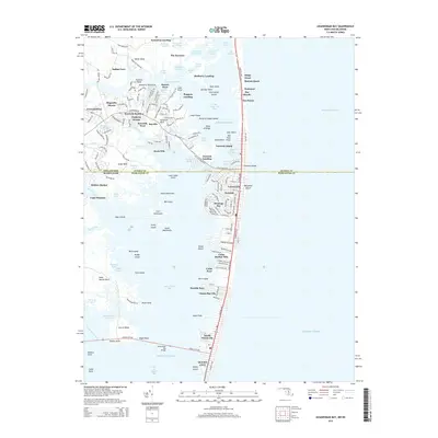
Historical Maps of Worcester County Through Time
66 maps found
1901 Green Run
Worcester County, MD
1938 Green Run
Worcester County, MD

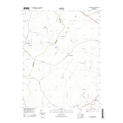
1942 Dividing Creek
Worcester County, MD
1942 Ninepin
Worcester County, MD
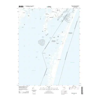
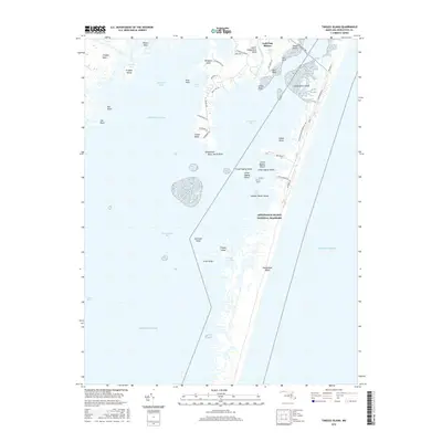
1942 Tingles Island
Worcester County, MD
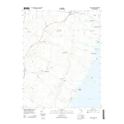
1942 Wesley
Worcester County, MD
1942 Whaleysville
Worcester County, MD
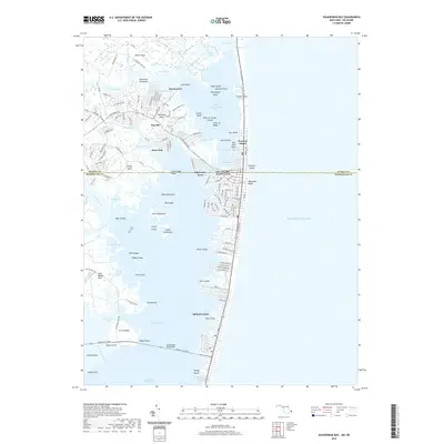
1943 Assawoman Bay
Worcester County, MD
1943 Boxiron
Worcester County, MD
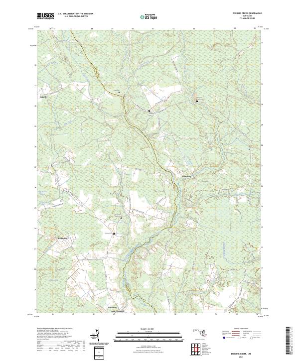
1943 Dividing Creek
Worcester County, MD
1943 Ninepin
Worcester County, MD
1943 Tingles Island
Worcester County, MD
1943 Wesley
Worcester County, MD
1943 Whaleysville
Worcester County, MD
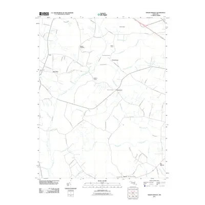
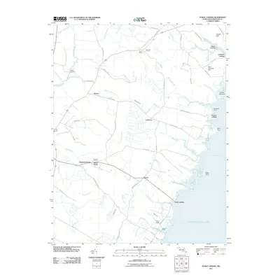
1943 Whittington Point
Worcester County, MD
1944 Green Run
Worcester County, MD
1953 Assawoman Bay
Worcester County, MD
1953 Boxiron
Worcester County, MD
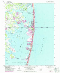
1953 Whittington Point
Worcester County, MD
1964 Boxiron
Worcester County, MD
1964 Tingles Island
Worcester County, MD
1964 Whittington Point
Worcester County, MD
1967 Assawoman Bay
Worcester County, MD
1967 Public Landing
Worcester County, MD
1973 Dividing Creek
Worcester County, MD
1980 Assawoman Bay
Worcester County, MD
1982 Ninepin Branch
Worcester County, MD
1992 Assawoman Bay
Worcester County, MD
1992 Whaleysville
Worcester County, MD
1997 Assawoman Bay
Worcester County, MD
1998 Tingles Island
Worcester County, MD
2011 Boxiron
Worcester County, MD
2011 Dividing Creek
Worcester County, MD
2011 Ninepin Branch
Worcester County, MD
2011 Public Landing
Worcester County, MD
2011 Tingles Island
Worcester County, MD
2011 Whittington Point
Worcester County, MD
2013 Assawoman Bay
Worcester County, MD
2014 Assawoman Bay
Worcester County, MD
2014 Boxiron
Worcester County, MD
2014 Dividing Creek
Worcester County, MD
2014 Ninepin Branch
Worcester County, MD
2014 Public Landing
Worcester County, MD
2014 Tingles Island
Worcester County, MD
2014 Whittington Point
Worcester County, MD
2016 Assawoman Bay
Worcester County, MD
2016 Boxiron
Worcester County, MD
2016 Dividing Creek
Worcester County, MD
2016 Ninepin Branch
Worcester County, MD
2016 Public Landing
Worcester County, MD
2016 Tingles Island
Worcester County, MD
2016 Whittington Point
Worcester County, MD
2019 Assawoman Bay
Worcester County, MD
2019 Boxiron
Worcester County, MD
2019 Dividing Creek
Worcester County, MD
2019 Ninepin Branch
Worcester County, MD
2019 Public Landing
Worcester County, MD
2019 Tingles Island
Worcester County, MD
2019 Whittington Point
Worcester County, MD
2023 Assawoman Bay
Worcester County, MD
2023 Boxiron
Worcester County, MD
2023 Dividing Creek
Worcester County, MD
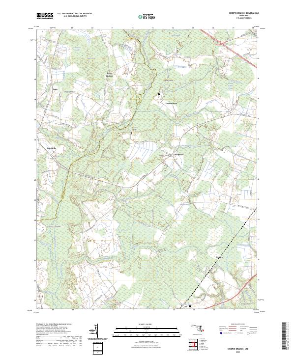
2023 Ninepin Branch
Worcester County, MD
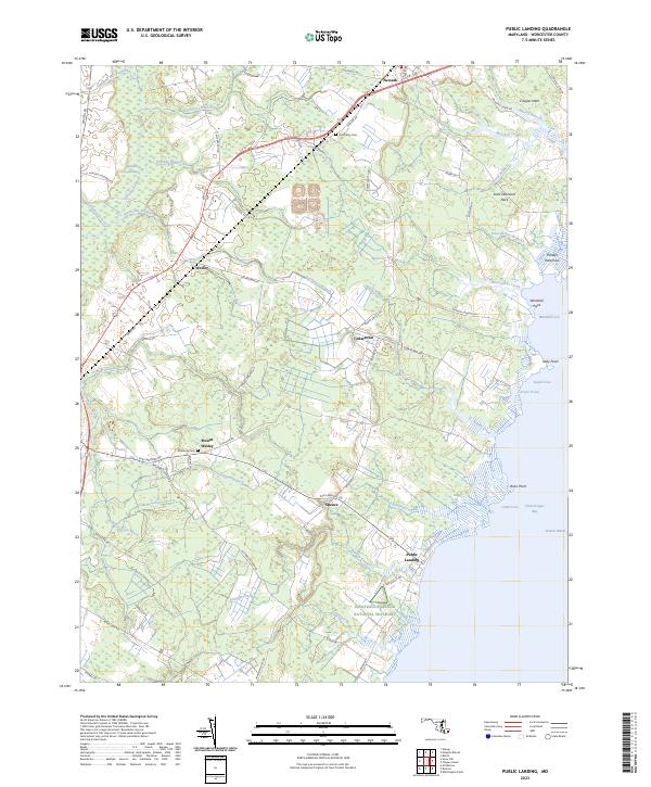
2023 Public Landing
Worcester County, MD
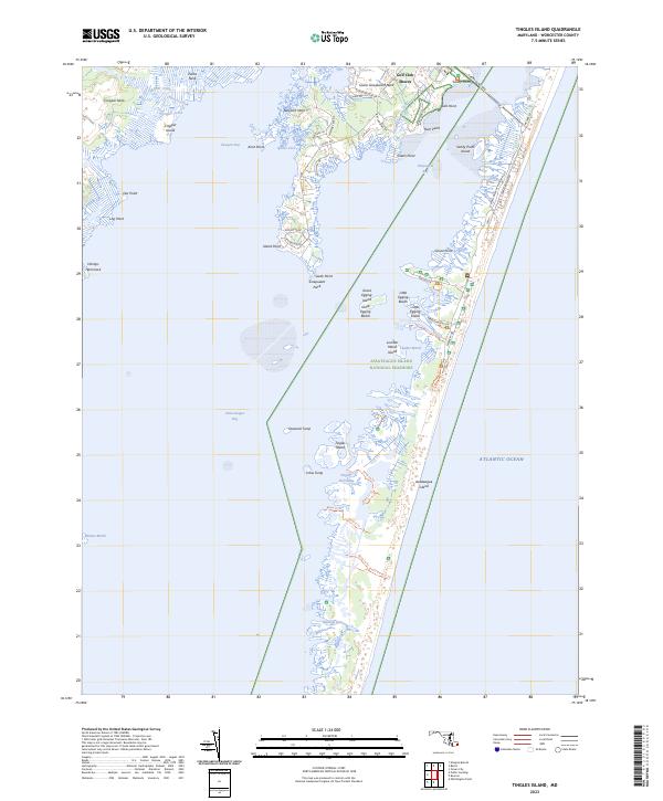
2023 Tingles Island
Worcester County, MD
2023 Whittington Point
Worcester County, MD