2023 Map of Williamsburg
USGS Topo · Published 2023About this map
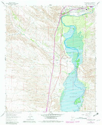
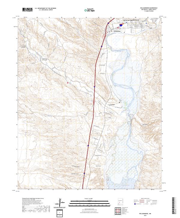
The Rio Grande corridor south of Truth Or Consequences anchors this study of the New Mexico landscape, where the river feeds into the northern reaches of the Caballo Reservoir. The settlement of Williamsburg occupies the northern terrace, while further south, the village of Las Palomas sits near the confluence of Palomas Creek. This area is defined by a complex network of drainage systems, including King Arroyo and numerous named canyons such as Cañon de Molino Viejo and North Kelly Canyon, which carve through the arid terrain toward the river valley.
Find a feature on this map
67 named features on this map. Tap any name to fly to it.
Don’t see what you’re looking for? This feature index may not catch every label — zoom into the map to look around manually.
Map Details
Editions of this 2023 Williamsburg Map
This is the sole edition of this map. No revisions or reprints were ever made.