2024 Map of Windermere
USGS Topo · Published 2024About this map
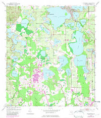
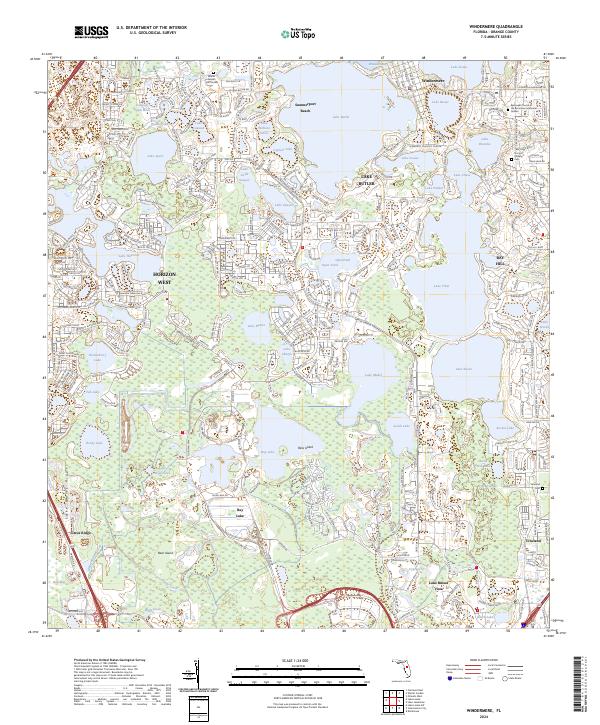
Lake Butler and the interconnected waters of the Butler Chain of Lakes anchor this survey of Orange County. The landscape is defined by the proximity of major residential developments like Horizon West and Bay Hill, contrasting with the extensive wetlands and citrus-growing heritage visible along the Lake Wales Ridge. Significant local landmarks include the Episcopal Church of the Ascension-Memorial Garden and the established settlement of Windermere, which sits between Lake Bessie and Wauseon Bay.
Find a feature on this map
66 named features on this map. Tap any name to fly to it.
Don’t see what you’re looking for? This feature index may not catch every label — zoom into the map to look around manually.
Map Details
Editions of this 2024 Windermere Map
This is the sole edition of this map. No revisions or reprints were ever made.