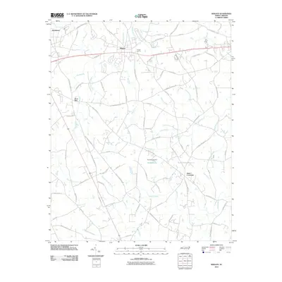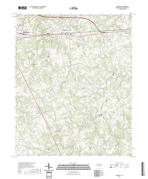
2022 Map of Wingate
USGS Topo · Published 2022About this map
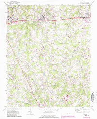
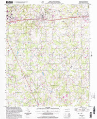
Wingate University serves as a central anchor for this area of Union County, situated along the CSX Transportation line and the highway corridor that links Monroe to Marshville. The landscape is defined by its deep spiritual and community roots, evidenced by an exceptional density of church-affiliated burial sites and cemeteries. Features such as Nicey Grove Church Cem, Smyrna Church Cem, and the Walker Grove Church Cem are scattered across the terrain, often located near the headwaters of local streams like Rays Fork and Waxhau Br.
Find a feature on this map
141 named features on this map. Tap any name to fly to it.
Don’t see what you’re looking for? This feature index may not catch every label — zoom into the map to look around manually.
Map Details
Editions of this 2022 Wingate Map
This is the sole edition of this map. No revisions or reprints were ever made.
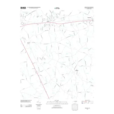
Historical Maps of Monroe Through Time
7 maps found