2024 Map of Woodstock
USGS Topo · Published 2024About this map
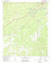
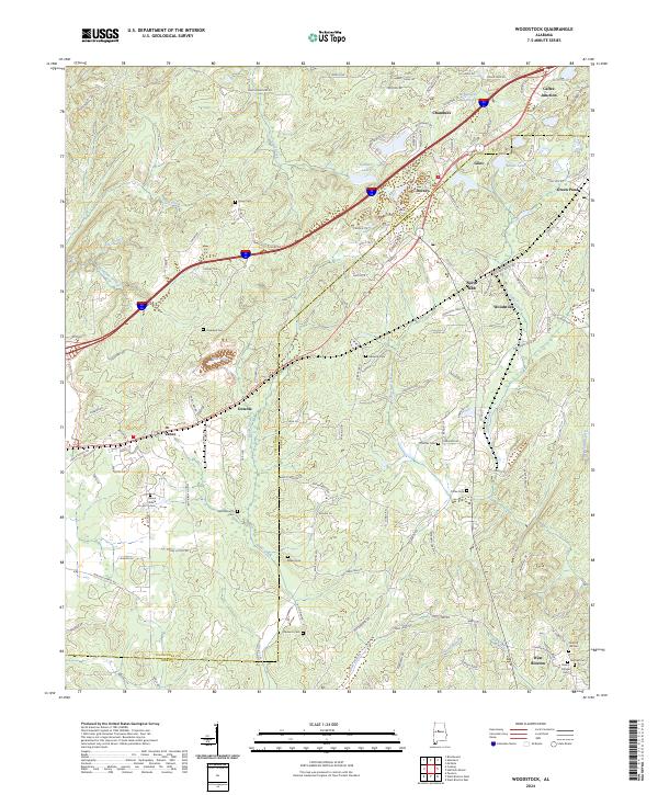
Woodstock and North Bibb anchor this survey of the northern Alabama hills, where the CSX rail line and Interstate 20 cut through a landscape defined by small settlements and historic cemeteries. The border between Tuscaloosa Co and Bibb Co bisects the area, linking several distinct communities such as Vance, Green Pond, and Caffee Junction. The terrain is marked by significant hydrological features including Blue Pond, McMicken Lake, and Gallant Lake, which drain into a network of branches like Hurricane Creek and Banks Creek. This 2024 data reveals a high density of family and community burial grounds, from Union Cem to Mount Gillard Cem near Mount Gillard, suggesting a deep-rooted lineage of land ownership and local history across the ridge-and-valley landscape of the t21s r6w and t21s r7w townships.
Find a feature on this map
137 named features on this map. Tap any name to fly to it.
Don’t see what you’re looking for? This feature index may not catch every label — zoom into the map to look around manually.
Map Details
Editions of this 2024 Woodstock Map
This is the sole edition of this map. No revisions or reprints were ever made.