Loading...
Loading map...2022 Map of Yuba
USGS Topo · Published 2022About this map
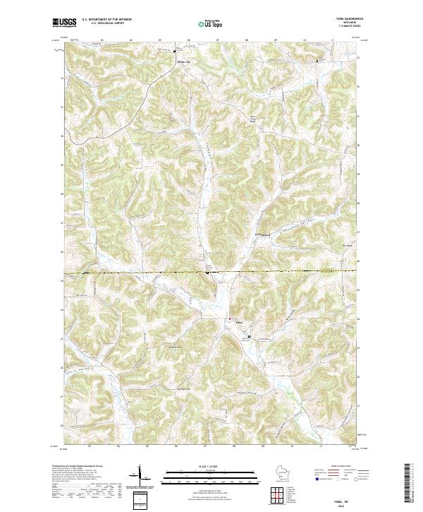
The Pine River and its various tributaries, including Warner Br and Indian Cr, carve a complex series of ridges and hollows along the Vernon and Richland County line. The settlement of Yuba serves as a central point in this landscape, situated near the confluence of local streams and the East Pine River Cem. The geography is defined by family-named landmarks and distinct topographic features such as Saint Johns Ridge, Johnson Hill, and Eysnogel Hill.
Find a feature on this map
93 named features on this map. Tap any name to fly to it.
Don’t see what you’re looking for? This feature index may not catch every label — zoom into the map to look around manually.
Map Details
Date Portrayed2022
Date Published2022
PublisherU.S. Geological Survey
Map TypeTopographic
Scale1:24000
Physical Dimensions24 x 29 inches
Editions of this 2022 Yuba Map
This is the sole edition of this map. No revisions or reprints were ever made.
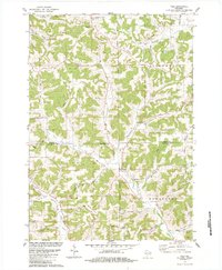
Historical Maps of Yuba Through Time
Featured Locations
Source Details
SourceU.S. Geological Survey
CopyrightPublic Domain