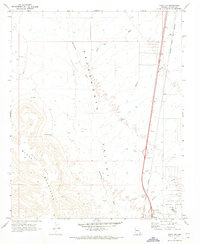
1970 Map of Yucca NW
USGS Topo · Published 1973About this map
The Sacramento Valley dominates this 1970s landscape, serving as a corridor for significant transportation and industrial infrastructure in Mohave County. The Atchison Topeka and Santa Fe railroad runs parallel to the modern highway system, where the Old Trails Hwy Interchange and East Yucca Interchange mark critical junctions for the settlement of Yucca. To the west, the foothills of the Black Mountains reveal signs of geological exploration and resource extraction, indicated by scattered prospects and drill holes near Caliche Spring.
Find a feature on this map
23 named features on this map. Tap any name to fly to it.
Don’t see what you’re looking for? This feature index may not catch every label — zoom into the map to look around manually.
Map Details
Editions of this 1970 Yucca NW Map
This is the sole edition of this map. No revisions or reprints were ever made.
Other maps of this area

1886 · Camp Mohave
USGS Topo · 1:250,000

1892 · Camp Mohave
USGS Topo · 1:250,000

1903 · Needles
USGS Topo · 1:125,000

1904 · Needles Special
USGS Topo · 1:125,000

1927 · Yucca
USGS Topo · 1:62,500

1929 · Yucca
USGS Topo · 1:62,500

1942 · Camp Mohave
USGS Topo · 1:250,000

1947 · Kingman
USGS Topo · 1:250,000

1948 · Kingman
USGS Topo · 1:250,000

1954 · Needles
USGS Topo · 1:250,000