Old Maps of Caimital Alto, Aguadilla for Metal Detecting
Plan your next treasure hunt with 18 historic maps of Caimital Alto. Find old homesites, ghost towns, trails, and gathering spots that may be lost to time — perfect for identifying promising metal detecting locations.
- Locate forgotten sites: Uncover places like long-lost settlements, abandoned rail lines, or gathering spots.
- Plan better hunts: Use map overlays combined with LiDAR or satellite views to narrow in on historically rich areas.
- Made for detectorists: Thousands of hobbyists use these maps to discover relics, coins, and hidden history.
Use these historic maps to boost your research and find new opportunities beneath the surface of Caimital Alto.
Caimital Alto, Aguadilla maps
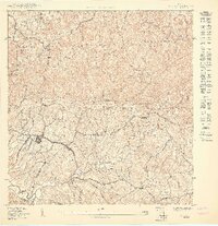
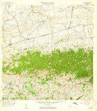
(18)- 1937 Map of Aguadilla
 1937 Aguadilla1937 Print · USGSNorthwestern Puerto Rico during the late 1930s reveals a landscape of coastal settlements and industrial rail lines. Genealogists and historians can trace the foundations of local communities through landmarks like the Iglesia de la Conception and the American railroad route through Coloso.
 - 1937 Map of Moca
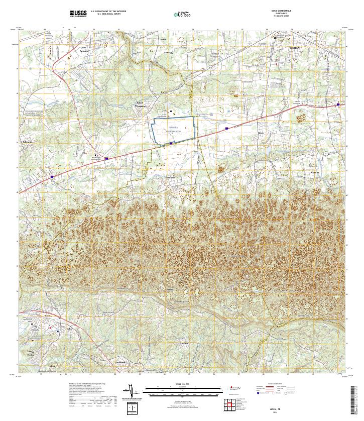
 1937 Moca1937 Print · USGSNorthwestern Puerto Rico in the late thirties reveals a landscape defined by rail transit and a remarkably dense network of rural schools. Family historians can trace ancestral roots through dozens of local sites like Escuela Aceituna No 1, Iglesia Presbiteriana, and the American RR of Porto Rico stations.2 unique versions available
 - 1941 Map of Moca
 1941 Moca1941 Print · USGSNorthwestern Puerto Rico is captured here in the early 1940s, showing a landscape where the coastal railroad meets the high ridges of the Cordillera. Researchers can trace the American RR of Porto Rico line through Estacion Santiago and find local landmarks like the Iglesia de la Virgen del Rosario.
 - 1942 Map of Moca
 1942 Moca1942 Print · USGSNorthwestern Puerto Rico during the early forties shows a landscape transitioning between coastal rail industry and the rural interior. Genealogists can trace family footprints near Jobos and the American R. R. of Porto Rico or at the Escuela Segunda Unidad de Voladoras.5 unique versions available
 - 1942 Map of Aguadilla
 1942 Aguadilla1942 Print · USGSCoastal life in northwest Puerto Rico during the early 1940s centered on the rail lines and rivers of the Aguadilla region. Genealogists and historians can trace family roots through the numerous railroad stops of the American Railroad or locate historical landmarks like the Pta Borinquen L H and the Iglesia Aguadilla.5 unique versions available
 - 1950 Map of Moca SO
 1950 Moca SO1950 Print · USGSMid-century Moca and its surrounding barrios are captured here during a period of infrastructure growth in northwest Puerto Rico. Genealogists and researchers can locate family homes and landmarks across Caimital Alto, the Escuela Segunda Unidad de Voladoras, and along the Río Culebrinas.
 - 1950 Map of Aguadilla NE
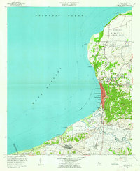
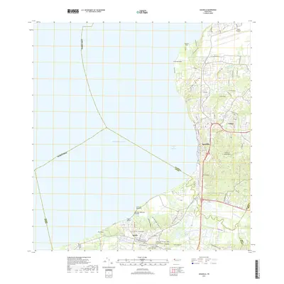
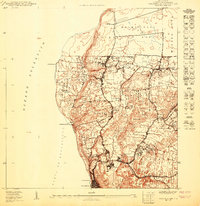 1950 Aguadilla NE1950 Print · USGSThe Aguadilla coastline in the mid-century shows a landscape shaped by the rail industry and military presence. Genealogists and historians can trace the development of housing at Caserío José de Diego and the path of the American Railroad Company of Porto Rico.
 - 1950 Map of Moca NO
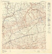 1950 Moca NO1950 Print · USGSNorthwestern Puerto Rico during the mid-century is captured here as a landscape of rural barrios and vital rail connections. Genealogists and historians can trace family roots through landmarks like Iglesia Ceiba Alta and the rail stops at Estación Montaña or Estación Santiago.
 - 1950 Map of Aguadilla SE
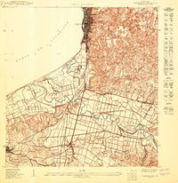 1950 Aguadilla SE1950 Print · USGSCoastal life in northwest Puerto Rico at mid-century is meticulously detailed where the mountains meet the Bahía de Aguadilla. Genealogists and historians can trace family locations through neighborhoods like Tamarindo, the path of the American Railroad, and rural schools like Escuela Segunda Unidad Espinal.
 - 1956 Map of Moca, 1959 Print
 1956 Moca1959 Print · USGSMoca and the surrounding northwest highlands are shown here in the mid-fifties, during a period of transition between traditional agriculture and modern infrastructure. You can trace the Antigua Vía del Ferrocarril through the karst hills or locate family landmarks like Central Isabel No 2 and the Cementerio de Isabela.
 - 1960 Map of Aguadilla, 1962 Print
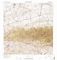
 1960 Aguadilla1962 Print · USGSCoastal Aguadilla and the surrounding municipios are shown during a period of significant growth at the start of the 1960s. Researchers can trace the layout of Ramey Air Force Base, find local landmarks like Colegio San Carlos, or follow the Via Del Ferrocarril through Aguada.5 unique versions available
 - 1964 Map of Moca, 1967 Print
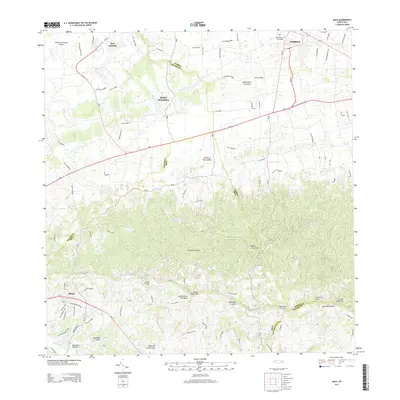
 1964 Moca1967 Print · USGSNorthwestern Puerto Rico in the mid-sixties shows a landscape defined by the rugged Cordillera Jaicoa and vital water infrastructure. Genealogists can trace family footprints near Moca and find landmarks like the Iglesia Ceiba Alta or the Antigua Via del Ferrocarril.3 unique versions available
 - 2013 Map of Aguadilla, 2013 Print
 2013 Aguadilla2013 Print · USGSCovers Caimital Alto, including Aguadilla, Aguada, and other nearby areas
 - 2013 Map of Moca, 2013 Print
 2013 Moca2013 Print · USGSCovers Caimital Alto, including Moca, Sector Nieves, and other nearby areas
 - 2018 Map of Moca, 2018 Print
 2018 Moca2018 Print · USGSCovers Caimital Alto, including Moca, Sector Nieves, and other nearby areas
 - 2018 Map of Aguadilla, 2018 Print
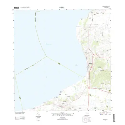
 2018 Aguadilla2018 Print · USGSCovers Caimital Alto, including Aguadilla, Aguada, and other nearby areas
 - 2024 Map of Moca, 2024 Print
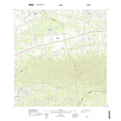
 2024 Moca2024 Print · USGSNorthwestern Puerto Rico is documented here in the present day, showing the developed corridors between the coast and the mountain foothills. Genealogists and historians can locate family sites near Cementerio de Municipio de Moca, San Antonio, and Lomas Verdes.
 - 2024 Map of Aguadilla, 2024 Print
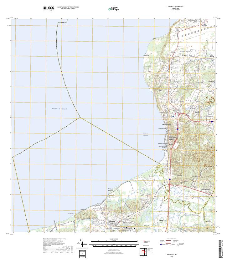 2024 Aguadilla2024 Print · USGSAguadilla and its neighboring coastal settlements are captured here in the early twenty-first century. Researchers can trace family roots at the Cementerio Los Rosales or explore landmarks like the Rafael Hernandez Airport.
End of results
Showing maps 1-18 of 18
Frequently asked questions
- What are the different types of historical maps available for Caimital Alto?
- What is the oldest map of Caimital Alto?
- Where can I purchase historical maps of Caimital Alto for my home or office?
- Where can I download high-res historical maps of Caimital Alto?
- Are there historical topographic maps available for Caimital Alto?
- Is there historical aerial imagery available for Caimital Alto?
- Where are historical maps of Caimital Alto sourced from?