Old Maps of Factor, Arecibo
Explore 19 old maps of Factor, spanning from 1942 to today. These high-resolution historic maps reveal how streets, neighborhoods, landmarks, and natural features evolved over time — perfect for genealogy, metal detecting, research, and local history exploration.
What you can do with these maps:
- See how Factor changed over time: Compare historical maps to modern-day views to trace roads, homesites, rail lines & more.
- View detailed metadata: Each map includes creators, publishers, year, scale, and archive source.
- Overlay maps with satellite & LiDAR: Visualize the past alongside modern tools to explore terrain & human change.
- Trusted historical sources: Maps sourced from the USGS, Library of Congress, and other archives.
- Access maps your way: View online, download high-res files, or order prints for personal or research use.
Start exploring old maps of Factor to uncover forgotten places, hidden landmarks, and the deep history beneath your feet.
Factor, Arecibo maps
(19)- 1942 Map of Arecibo
 1942 Arecibo1942 Print · USGSCoastal Arecibo and its surrounding sugar lands appear in detail during the early 1940s, when the rail lines were the lifeblood of the region. Genealogists and historians can trace the neighborhoods of Arecibo or locate families near the Central Cambalache and Estacion Arecibo.2 unique versions available
 - 1942 Map of Barceloneta
 1942 Barceloneta1942 Print · USGSNorthern Puerto Rico’s sugar-driven economy is at its peak in the early 1940s, centered around the towns and massive centrals. Researchers can trace the extensive sugar rail network including the American Railroad of Puerto Rico and visit old communities like Palmas Altas and Central Plazuela.2 unique versions available
 - 1946 Map of Barceloneta
 1946 Barceloneta1946 Print · USGSThe northern coast of Puerto Rico in the 1940s reveals a landscape of industrial sugar mills and coastal wetlands. Genealogists can trace family connections through rural barrios like Sabana Hoyos or locate historic landmarks like Central Plazuela and the Escuela Segunda Unidad de Sabana Hoyos.3 unique versions available
 - 1946 Map of Arecibo
 1946 Arecibo1946 Print · USGSThe industrial and coastal landscape of northern Puerto Rico is captured here just after the war. Local historians can trace the sugar economy through Central Cambalache, the American Railroad, and neighborhoods like Obrero and Miramar.3 unique versions available
 - 1947 Map of Barceloneta SO
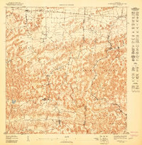 1947 Barceloneta SO1947 Print · USGSNorthern Puerto Rico’s agricultural heartland is captured here in the late 1940s, showing the intricate social and industrial landscape of the karst region. Researchers can trace the Central Cambalache Railroad and historic settlements like Sabana Hoyos and Cruce Dávila.
 - 1947 Map of Arecibo SE
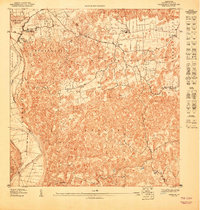 1947 Arecibo SE1947 Print · USGSThe limestone hills and river valleys southeast of Arecibo are captured here in the mid-1940s, showing the region's rural character. Genealogists can trace family footprints in Bajadero or locate the Escuela Segunda Unidad de Bajadero.
 - 1950 Map of Arecibo NE
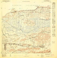 1950 Arecibo NE1950 Print · USGSThe coastal wetlands and barrios of Arecibo are captured here at the mid-point of the century as the region balanced agriculture with new aviation infrastructure. Researchers can trace the layout of Poblado Santana or locate landmarks like the Arecibo Airport and the coastal Pta Caracoles.
 - 1953 Map of Arecibo, 1954 Print
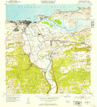 1953 Arecibo1954 Print · USGSArecibo and its coastal surroundings are shown in the early 1950s, a period when the sugar industry and railroads still shaped the local economy. Researchers can trace the lines of the American RR of Porto Rico connecting Central Cambalache and Central Los Caños with the coastal port.2 unique versions available
 - 1953 Map of Barceloneta, 1954 Print
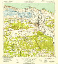 1953 Barceloneta1954 Print · USGSCoastal Puerto Rico in the early fifties reveals a landscape shaped by the sugar industry and the winding Rio Grande De Manati. Researchers can locate historic sugar mills like Central Plazuela and rural schools including Escuela Agustin Balseiro.2 unique versions available
 - 1957 Map of Barceloneta, 1961 Print
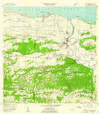 1957 Barceloneta1961 Print · USGSThe northern coast of Puerto Rico in the late fifties shows a landscape defined by sugar production and the winding Río Grande de Manatí. Local researchers can trace family connections through numerous rural schools and industrial landmarks like Central Plazuela and Central Monserrate.
 - 1957 Map of Arecibo, 1961 Print
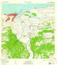 1957 Arecibo1961 Print · USGSPuerto Rico's northern coast comes alive in this mid-century survey, centered on the growing port and sugar economy. Researchers can trace the legacy of Central Cambalache, the old American Railroad, and landmarks like the Faro and Hospital Jefferson.
 - 1964 Map of Arecibo, 1968 Print
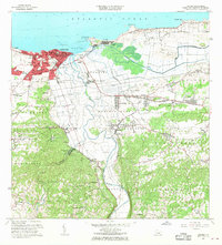 1964 Arecibo1968 Print · USGSMid-century Arecibo transitions from its historic coastal port to a bustling regional hub during the 1960s. Trace family roots and local industry through landmarks like Central Cambalache, the Faro, and the Aeropuerto de Arecibo.4 unique versions available
 - 1969 Map of Barceloneta, 1973 Print
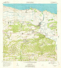 1969 Barceloneta1973 Print · USGSNorthern Puerto Rico's coastal sugar country is detailed here in the late sixties, showing the transition from the Atlantic shore to the interior hills. Genealogists can locate family homes near Central Plazuela, Escuela José Cordero, or the community of Garrochales.3 unique versions available
 - 2013 Map of Barceloneta, 2013 Print
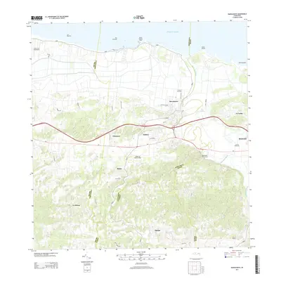 2013 Barceloneta2013 Print · USGSCoastal Barceloneta meets the Atlantic in the early twenty-first century, revealing a landscape shaped by the river and sugar industry. Researchers can trace local communities from Barceloneta to Imbéry, or locate the historic grounds of Central Plazuela and Central Monserrate.
 - 2013 Map of Arecibo, 2013 Print
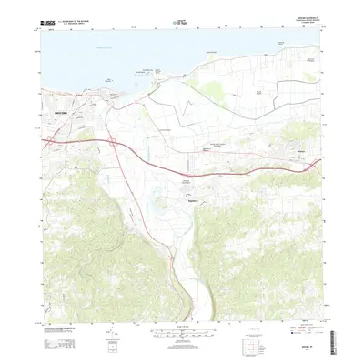 2013 Arecibo2013 Print · USGSThe northern coast of Puerto Rico is captured here in the early twenty-first century, centered on the historic port and the surrounding karst landscape. Researchers can trace the development of Arecibo and find landmarks like El Faro de Punta Morrillo and Central Cambalache.
 - 2018 Map of Arecibo, 2018 Print
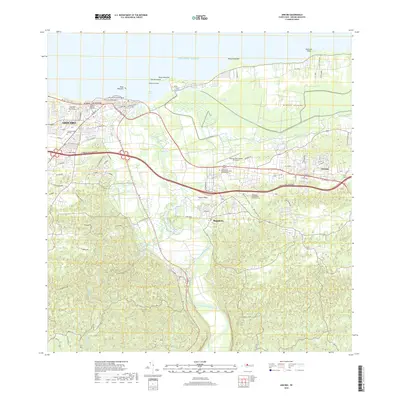 2018 Arecibo2018 Print · USGSArecibo and its northern coastline appear here in the late twenty-teens, showing the dense urban core and its surrounding river valleys. Trace the modern development of the region through the Antonio/Nery/Juarbe Pol Airport, the Ciénaga Tiburones wetlands, and Bajadero.
 - 2018 Map of Barceloneta, 2018 Print
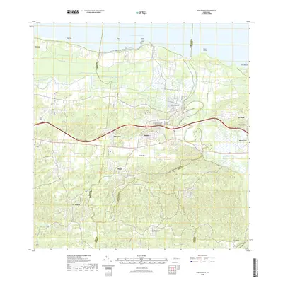 2018 Barceloneta2018 Print · USGSThe north coast of Puerto Rico is captured here in detail, showing the integration of modern infrastructure with traditional island settlements. Researchers can trace the layout of Barceloneta, locate family roots near La Alianza or Pajonal, and find local landmarks like Caño Salado.
 - 2024 Map of Arecibo, 2024 Print
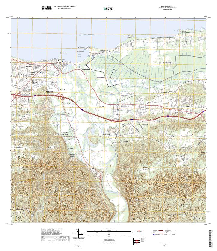 2024 Arecibo2024 Print · USGSCoastal Arecibo in the early twenty-first century exhibits a vibrant mix of urban university life and deep-rooted agricultural landscapes. Researchers can trace local heritage from the Cementerio Municipal de Arecibo to the industrial site at Central Los Caños.
 - 2024 Map of Barceloneta, 2024 Print
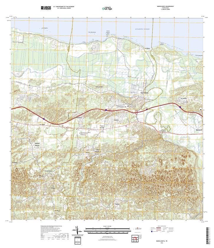 2024 Barceloneta2024 Print · USGSThe north coast of Puerto Rico comes alive in this survey of the river-and-road network around the Río Grande de Manatí. Researchers can trace local history through the Cementerio Municipal Barceloneta Viejo and old coastal settlements like La Boca.
End of results
Showing maps 1-19 of 19
Frequently asked questions
- What are the different types of historical maps available for Factor?
- What is the oldest map of Factor?
- Where can I purchase historical maps of Factor for my home or office?
- Where can I download high-res historical maps of Factor?
- Are there historical topographic maps available for Factor?
- Is there historical aerial imagery available for Factor?
- Where are historical maps of Factor sourced from?