Old Maps of Urbanización Paseo Cofresí, Cabo Rojo
Explore 7 old maps of Urbanización Paseo Cofresí, spanning from 1938 to today. These high-resolution historic maps reveal how streets, neighborhoods, landmarks, and natural features evolved over time — perfect for genealogy, metal detecting, research, and local history exploration.
What you can do with these maps:
- See how Urbanización Paseo Cofresí changed over time: Compare historical maps to modern-day views to trace roads, homesites, rail lines & more.
- View detailed metadata: Each map includes creators, publishers, year, scale, and archive source.
- Overlay maps with satellite & LiDAR: Visualize the past alongside modern tools to explore terrain & human change.
- Trusted historical sources: Maps sourced from the USGS, Library of Congress, and other archives.
- Access maps your way: View online, download high-res files, or order prints for personal or research use.
Start exploring old maps of Urbanización Paseo Cofresí to uncover forgotten places, hidden landmarks, and the deep history beneath your feet.
Urbanización Paseo Cofresí, Cabo Rojo maps
(7)- 1938 Map of Cabo Rojo
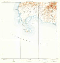 1938 Cabo Rojo1938 Print · USGSThe southwestern tip of Puerto Rico is captured here in the late 1930s, showing the salt-rich coastlines of Bahia Salinas and Bahia Sucia. Genealogists and historians can trace the rural life of the era through sites like Las Palmas and the Escuela Sebastian Pabon Alvarado.5 unique versions available
 - 1949 Map of Cabo Rojo NE
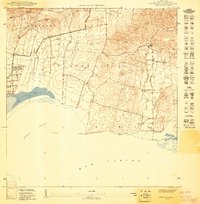 1949 Cabo Rojo NE1949 Print · USGSThe southwest coast of Puerto Rico is captured in the late 1940s, showing the intersection of salt production and rural life. Trace the early layout of Corozo or find the landmark Iglesia de Cristo Rey near the base of Lomas de Boquerón.
 - 1957 Map of Cabo Rojo, 1959 Print
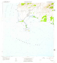 1957 Cabo Rojo1959 Print · USGSThe tip of southwestern Puerto Rico in the late fifties shows a coastal landscape dominated by salt production and maritime navigation. Genealogists and historians can trace local life through the Escuela Sebastián Pabón Alves and settlements like El Combate and Pole Ojea.
 - 1966 Map of Cabo Rojo, 1968 Print
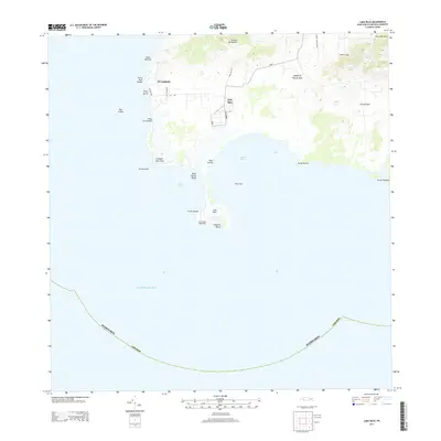
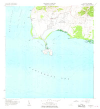 1966 Cabo Rojo1968 Print · USGSThe southwestern tip of Puerto Rico appears here in the mid-1960s, showing the intersection of coastal salt works and maritime navigation. Researchers can trace the local community at El Combate and locate the iconic Faro near Bahia Sucia.2 unique versions available
 - 2013 Map of Cabo Rojo, 2013 Print
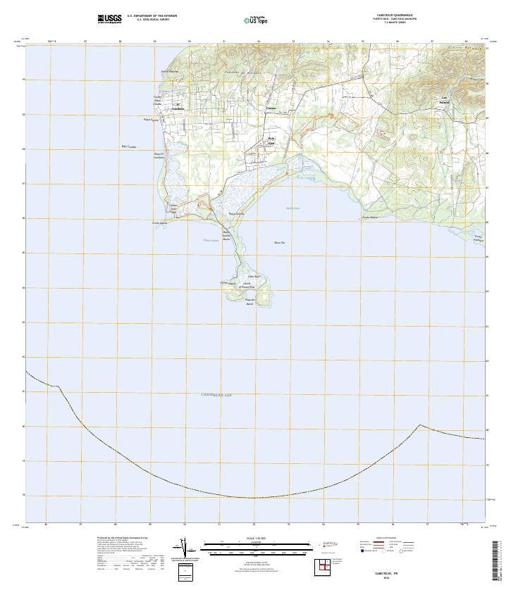
 2013 Cabo Rojo2013 Print · USGSCovers Urbanización Paseo Cofresí, including La Pitahaya, Las Palmas, and other nearby areas
 - 2018 Map of Cabo Rojo, 2018 Print
 2018 Cabo Rojo2018 Print · USGSCovers Urbanización Paseo Cofresí, including La Pitahaya, Las Palmas, and other nearby areas
 - 2024 Map of Cabo Rojo, 2024 Print
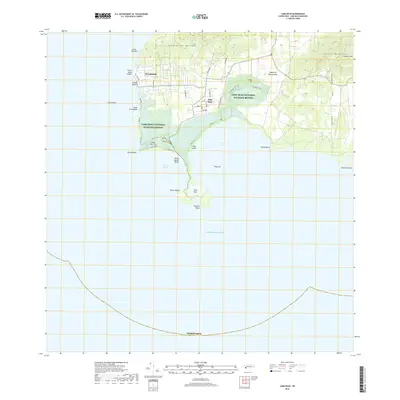
 2024 Cabo Rojo2024 Print · USGSThe southwestern tip of Puerto Rico is captured here in detail, showcasing the unique intersection of salt production and coastal conservation. Researchers can trace the boundaries of the Cabo Rojo National Wildlife Refuge and locate the Corozo Salt Flats alongside local settlements like Pole Ojea.
End of results
Showing maps 1-7 of 7
Top cities near Urbanización Paseo Cofresí
- Mayagüez historical maps
- Hormigueros historical maps
- San Germán historical maps
- Cabo Rojo historical maps
- Lajas historical maps
- Maricao historical maps
Frequently asked questions
- What are the different types of historical maps available for Urbanización Paseo Cofresí?
- What is the oldest map of Urbanización Paseo Cofresí?
- Where can I purchase historical maps of Urbanización Paseo Cofresí for my home or office?
- Where can I download high-res historical maps of Urbanización Paseo Cofresí?
- Are there historical topographic maps available for Urbanización Paseo Cofresí?
- Is there historical aerial imagery available for Urbanización Paseo Cofresí?
- Where are historical maps of Urbanización Paseo Cofresí sourced from?