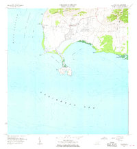
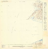
1966 Map of Cabo Rojo
USGS Topo · Published 1968About this map
Cabo Rojo marks the dramatic southwestern tip of Puerto Rico, where the Caribbean Sea meets the Mona Passage. The landscape is defined by the coastal salt flats of Bahia Salinas and the protected mangroves of the Bosque Estatal de Boquerón. The prominent Faro stands watch over the limestone cliffs near Punta Jagüey, serving as a critical navigational landmark at this maritime crossroads.
Find a feature on this map
29 named features on this map. Tap any name to fly to it.
Don’t see what you’re looking for? This feature index may not catch every label — zoom into the map to look around manually.
Map Details
Editions of this 1966 Cabo Rojo Map
2 editions found
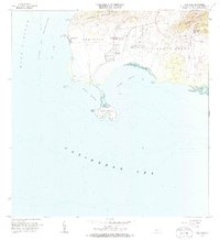
Other maps of this area

1935 · Puerto Real
USGS Topo · 1:25,000

1937 · San German
USGS Topo · 1:25,000

1937 · Puerto Real
USGS Topo · 1:25,000

1938 · Parguera
USGS Topo · 1:30,000

1938 · Cabo Rojo
USGS Topo · 1:30,000

1941 · San German
USGS Topo · 1:30,000

1941 · Puerto Real
USGS Topo · 1:30,000
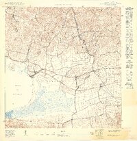
1949 · Puerto Real SE
USGS Topo · 1:10,000
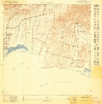
1949 · Cabo Rojo NE
USGS Topo · 1:10,000
1949 · Puerto Real SO
USGS Topo · 1:10,000
Featured Places
- La Pitahaya, Cabo Rojo
- Urbanización Paseo Cofresí, Cabo Rojo
- Las Palmas, Cabo Rojo
- Boquerón, Cabo Rojo
- El Corozo, Cabo Rojo