
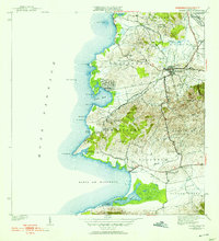
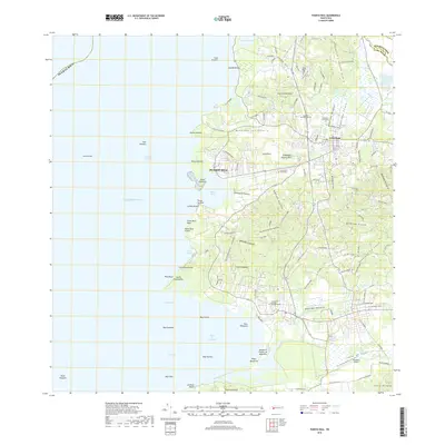
1937 Map of Puerto Real
USGS Topo · Published 1937About this map
The western coastline of Cabo Rojo is defined by a series of prominent headlands and bays, including the broad Bahia De Boqueron and the inlet of Puerto Real. In the late 1930s, this area of Puerto Rico featured a dense network of local schools such as Escuela Garfield and Escuela Jose G Padilla, reflecting a period of significant educational infrastructure development. The landscape is a mix of coastal wetlands and salt flats, notably Las Salinas, and the fertile Valle De Lajas.
Find a feature on this map
71 named features on this map. Tap any name to fly to it.
Don’t see what you’re looking for? This feature index may not catch every label — zoom into the map to look around manually.
Map Details
Editions of this 1937 Puerto Real Map
This is the sole edition of this map. No revisions or reprints were ever made.
Historical Maps of Cabo Rojo Through Time
8 maps found

1935 Puerto Real
Cabo Rojo Municipio, PR
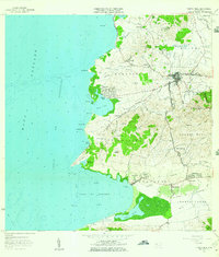
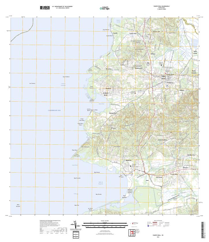
1937 Puerto Real
Cabo Rojo Municipio, PR
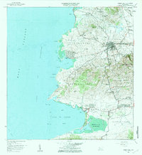
1941 Puerto Real
Cabo Rojo Municipio, PR
1957 Puerto Real
Cabo Rojo Municipio, PR
1966 Puerto Real
Cabo Rojo Municipio, PR
2013 Puerto Real
Cabo Rojo Municipio, PR
2018 Puerto Real
Cabo Rojo Municipio, PR
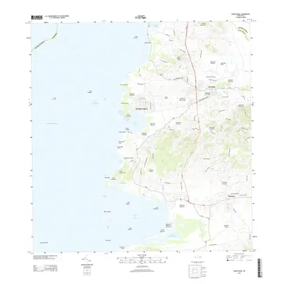
2024 Puerto Real
Cabo Rojo Municipio, PR
Featured Locations
- Cabo Rojo, Cabo Rojo
- Reparto Vista Verde, Cabo Rojo
- Sector Souchet, Cabo Rojo
- El Fuego y Las Piedras, Cabo Rojo
- Villa Tortuga, Cabo Rojo