
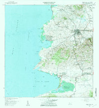
1941 Map of Puerto Real
USGS Topo · Published 1941About this map
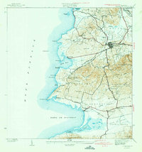
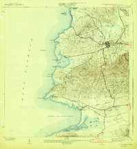
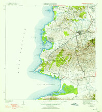
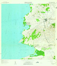
Cabo Rojo serves as the inland hub for this coastal region of southwestern Puerto Rico, where the American Railroad snakes through the hills toward the southern plains. The landscape is defined by its relationship to the Mona Passage, featuring the large sheltered harbor at Puerto Real and the coastal lagoons of Laguna Joyuda and Laguna Rincon. Settled areas like Joyuda and Boqueron line the shore, while the interior is marked by small hamlets such as Delicias and Llanos Tunas. The presence of Las Salinas at the southern edge of the Bahia de Boqueron points to the long-standing salt production industry in this area. From the heights of Cerro Piñas to the alluvial Valle de Lajas, the map documents the rural road networks and water systems, including the Rio Viejo, that sustained these communities before mid-century modernization.
Find a feature on this map
58 named features on this map. Tap any name to fly to it.
Don’t see what you’re looking for? This feature index may not catch every label — zoom into the map to look around manually.
Map Details
Editions of this 1941 Puerto Real Map
4 editions found
Historical Maps of Cabo Rojo Through Time
8 maps found

1935 Puerto Real
Cabo Rojo Municipio, PR

1937 Puerto Real
Cabo Rojo Municipio, PR
1941 Puerto Real
Cabo Rojo Municipio, PR
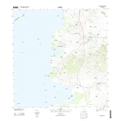
1957 Puerto Real
Cabo Rojo Municipio, PR
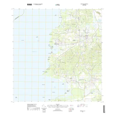
1966 Puerto Real
Cabo Rojo Municipio, PR
2013 Puerto Real
Cabo Rojo Municipio, PR
2018 Puerto Real
Cabo Rojo Municipio, PR
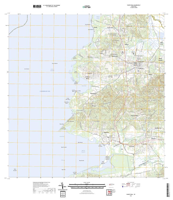
2024 Puerto Real
Cabo Rojo Municipio, PR
Featured Locations
- Cabo Rojo, Cabo Rojo
- Reparto Vista Verde, Cabo Rojo
- Sector Souchet, Cabo Rojo
- El Fuego y Las Piedras, Cabo Rojo
- Villa Tortuga, Cabo Rojo