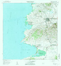
1941 Map of Puerto Real
USGS Topo · Published 1941About this map
Cabo Rojo serves as the inland hub for this coastal portion of southwest Puerto Rico, as documented during the 1930s surveys. The landscape is defined by the coastal indentations of the Mona Passage, where the fishing and harbor communities of Puerto Real and Boqueron line the deep bays. The topography transitions from the alluvial plains of the Valle de Lajas and Llanos Costa in the south to the rising elevations of Monte Grande and the Cordillera Sabana in the north. Inland transportation relies on the American and Porto Rico routes, connecting smaller settlements like Delicias and Guaniquilla. Notable landmarks include the Cementerio Delicias and a tunnel near Pedernales, while the hydrography is marked by the winding Rio Guanajibo and the large expanse of Laguna Joyuda.
Find a feature on this map
68 named features on this map. Tap any name to fly to it.
Don’t see what you’re looking for? This feature index may not catch every label — zoom into the map to look around manually.
Map Details
Editions of this 1941 Puerto Real Map
4 editions found

Historical Maps of Cabo Rojo Through Time
8 maps found

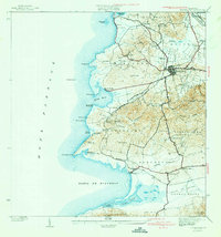
1935 Puerto Real
Cabo Rojo Municipio, PR

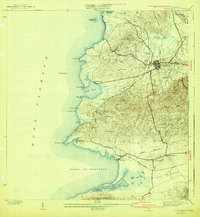
1937 Puerto Real
Cabo Rojo Municipio, PR
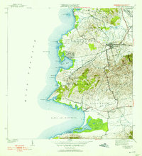
1941 Puerto Real
Cabo Rojo Municipio, PR
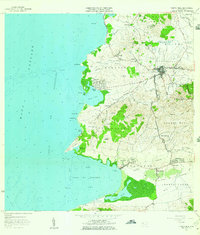
1957 Puerto Real
Cabo Rojo Municipio, PR
1966 Puerto Real
Cabo Rojo Municipio, PR
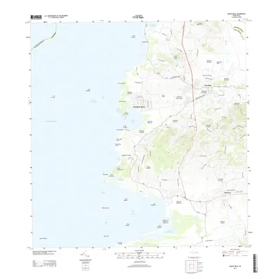
2013 Puerto Real
Cabo Rojo Municipio, PR
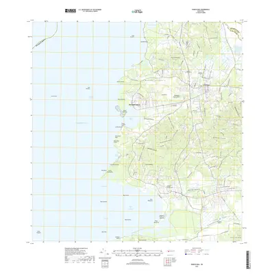
2018 Puerto Real
Cabo Rojo Municipio, PR
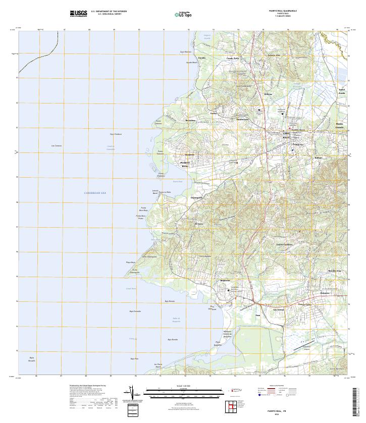
2024 Puerto Real
Cabo Rojo Municipio, PR
Featured Locations
- Cabo Rojo, Cabo Rojo
- Reparto Vista Verde, Cabo Rojo
- Sector Souchet, Cabo Rojo
- El Fuego y Las Piedras, Cabo Rojo
- Villa Tortuga, Cabo Rojo