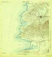
1941 Map of Puerto Real
USGS Topo · Published 1941About this map
Cabo Rojo serves as the inland anchor for this southwest corner of Puerto Rico, which transitioned from its historic sugar economy toward coastal development in the mid-1930s. The coastline is defined by a series of prominent headlands and bays, from the northern Laguna Joyuda and Pta Ostiones down to the sweeping Bahia de Boqueron. Along the shore, Puerto Real and Boqueron appear as established coastal hubs, while the interior is marked by a network of agricultural trails and small settlements like Llanos Tunas and Pajaritos. Commissioner Sergio Cuevas oversaw the recording of this landscape, which includes the specialized coastal flats of Las Salinas and the broad Valle de Lajas in the south. The terrain shifts from the maritime inlets of Mona Passage to the inland heights of Cerro Piñas and the Sierra Bermeja, revealing a patchwork of small farms and family-named cemeteries like Cementerio Delicias.
Find a feature on this map
63 named features on this map. Tap any name to fly to it.
Don’t see what you’re looking for? This feature index may not catch every label — zoom into the map to look around manually.
Map Details
Editions of this 1941 Puerto Real Map
4 editions found
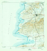
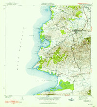
Other maps of this area

1935 · Puerto Real
USGS Topo · 1:25,000

1937 · San German
USGS Topo · 1:25,000

1937 · Puerto Real
USGS Topo · 1:25,000

1938 · Parguera
USGS Topo · 1:30,000

1938 · Cabo Rojo
USGS Topo · 1:30,000

1939 · Mayaguez
USGS Topo · 1:30,000

1941 · San German
USGS Topo · 1:30,000

1941 · Puerto Real
USGS Topo · 1:30,000

1941 · Rosario
USGS Topo · 1:30,000

1942 · Rosario
USGS Topo · 1:30,000
Featured Places
- Cabo Rojo
- Reparto Vista Verde, Cabo Rojo
- Villa Tortuga, Cabo Rojo
- Sector Souchet, Cabo Rojo
- El Fuego y Las Piedras, Cabo Rojo