
1941 Map of San German
USGS Topo · Published 1941About this map
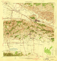
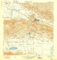
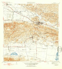
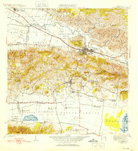
San German stands as the urban anchor of this 1941 edition, its grid of streets concentrated near the Polytechnic Institute and the Cementerio de San German. The landscape is a study in the transition from the rugged peaks of Monte Grande and Sierra Bermeja down into the fertile agricultural flats of the Valle de Lajas. Industry and transport are defined by the American Railroad of Porto Rico, which threads through the valley connecting vital points like Central Eureka and Estacion Lajas.
Find a feature on this map
62 named features on this map. Tap any name to fly to it.
Don’t see what you’re looking for? This feature index may not catch every label — zoom into the map to look around manually.
Map Details
Editions of this 1941 San German Map
5 editions found
Other maps of this area

1935 · Puerto Real
USGS Topo · 1:25,000

1937 · San German
USGS Topo · 1:25,000

1937 · Sabana Grande
USGS Topo · 1:25,000

1937 · Puerto Real
USGS Topo · 1:25,000

1938 · Guanica
USGS Topo · 1:30,000

1938 · Parguera
USGS Topo · 1:30,000

1938 · Cabo Rojo
USGS Topo · 1:30,000

1939 · Mayaguez
USGS Topo · 1:30,000

1941 · Puerto Real
USGS Topo · 1:30,000

1941 · Sabana Grande
USGS Topo · 1:30,000