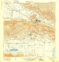
1941 Map of San German
USGS Topo · Published 1949About this map
San German serves as the focal point of this pre-war survey, divided into its historical urban cores of Pueblo Occidental, Pueblo Central, and Pueblo Oriental. The landscape reflects a deeply agricultural and industrial era, characterized by numerous sugar-producing estates such as Central Eureka and family-named landholdings like Hacienda Margarita, Hacienda Luisa, and Hacienda Beatriz Soledad. The American R. R. and Linea Porto Rico railroads provide the primary transportation arteries, threading through the valleys near the Rio Guanajibo.
Find a feature on this map
96 named features on this map. Tap any name to fly to it.
Don’t see what you’re looking for? This feature index may not catch every label — zoom into the map to look around manually.
Map Details
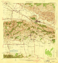
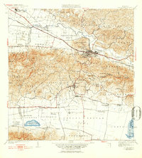
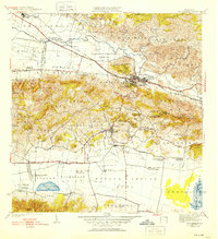
Editions of this 1941 San German Map
5 editions found
Other maps of this area

1935 · Puerto Real
USGS Topo · 1:25,000

1937 · San German
USGS Topo · 1:25,000

1937 · Sabana Grande
USGS Topo · 1:25,000

1937 · Puerto Real
USGS Topo · 1:25,000

1938 · Guanica
USGS Topo · 1:30,000

1938 · Parguera
USGS Topo · 1:30,000

1938 · Cabo Rojo
USGS Topo · 1:30,000

1939 · Mayaguez
USGS Topo · 1:30,000

1941 · San German
USGS Topo · 1:30,000

1941 · Puerto Real
USGS Topo · 1:30,000