
1938 Map of Guanica
USGS Topo · Published 1938About this map
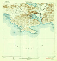
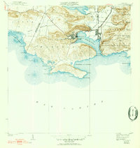
The industrial hub of Central Guanica anchor this 1930s coastal landscape, revealing the economic engine of southwestern Puerto Rico before mid-century modernization. The map documents the extensive sugar mill operations at Ensenada, where the Guanica Central railroad and the Linea de los Negros provided essential transport for the region's agricultural output. These rail lines connected the docks at Guanica Harbor to the inland fields, while a nearby Golf Course and several schools, including Escuela Ceiba, reflect the social structure surrounding the mill.
Find a feature on this map
42 named features on this map. Tap any name to fly to it.
Don’t see what you’re looking for? This feature index may not catch every label — zoom into the map to look around manually.
Map Details
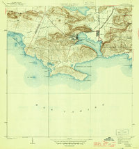
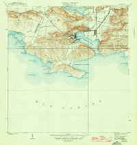
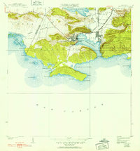
Editions of this 1938 Guanica Map
6 editions found
Other maps of this area

1937 · San German
USGS Topo · 1:25,000

1937 · Sabana Grande
USGS Topo · 1:25,000

1938 · Parguera
USGS Topo · 1:30,000

1941 · San German
USGS Topo · 1:30,000

1941 · Sabana Grande
USGS Topo · 1:30,000

1946 · Yauco
USGS Topo · 1:30,000

1946 · Punta Verraco
USGS Topo · 1:30,000
1947 · Yauco SO
USGS Topo · 1:10,000
1949 · Guanica NE
USGS Topo · 1:10,000
1949 · San German SE
USGS Topo · 1:10,000