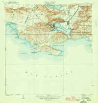
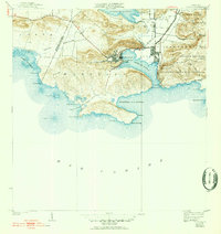
1938 Map of Guanica
USGS Topo · Published 1945About this map
Industrial activity at Central Guanica anchor this coastal landscape, where the sugar economy is deeply integrated with the rail network of the Guanica Central. The settlement of Ensenada serves as a primary hub overlooking the Bahia de Guanica, while the neighboring village of Guánica and the district of Pueblo mark the northern shore. The terrain is characterized by dramatic coastal headlands like Frontón de la Brea and significant inland wetlands including the Laguna de Guanica and the Cienaga. To the east, the Bosque Insular de Guanica Yauco y Guayanilla preserves a substantial tract of land, contrasting with the developed areas and salt flats at Salinas. Navigation and local landmarks are noted through the Faro de Guanica and the Cueva de la Julia along the shoreline.
Find a feature on this map
45 named features on this map. Tap any name to fly to it.
Don’t see what you’re looking for? This feature index may not catch every label — zoom into the map to look around manually.
Map Details
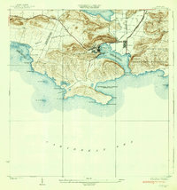
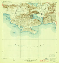
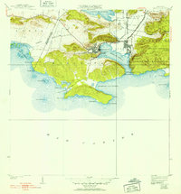
Editions of this 1938 Guanica Map
6 editions found
Other maps of this area

1937 · San German
USGS Topo · 1:25,000

1937 · Sabana Grande
USGS Topo · 1:25,000

1938 · Guanica
USGS Topo · 1:30,000

1938 · Parguera
USGS Topo · 1:30,000

1941 · San German
USGS Topo · 1:30,000

1941 · Sabana Grande
USGS Topo · 1:30,000

1946 · Yauco
USGS Topo · 1:30,000

1946 · Punta Verraco
USGS Topo · 1:30,000
1947 · Yauco SO
USGS Topo · 1:10,000
1949 · Guanica NE
USGS Topo · 1:10,000