
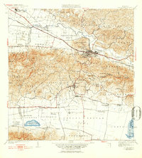
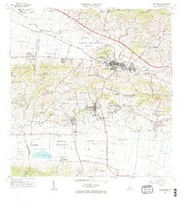
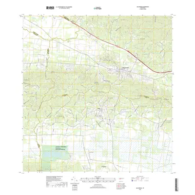
1937 Map of San German
USGS Topo · Published 1937About this map
San German serves as the focal point of this 1930s survey, illustrating the dense concentration of educational and religious institutions that defined the town during this era. The Polytechnic Institute occupies a prominent campus just west of the town center, while numerous rural schools like Escuela Manuel F Rossy and Escuela Jose de Diego are scattered throughout the surrounding hills of Los Peñones. The agricultural landscape is clearly delineated by traditional landholdings, including Hacienda Luisa and Hacienda Desengaño, which emphasize the sugar-driven economy centered around Central Eureka.
Find a feature on this map
79 named features on this map. Tap any name to fly to it.
Don’t see what you’re looking for? This feature index may not catch every label — zoom into the map to look around manually.
Map Details
Editions of this 1937 San German Map
This is the sole edition of this map. No revisions or reprints were ever made.
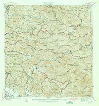
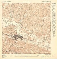
Historical Maps of San Germán Through Time
17 maps found
1937 San German
San Germán Municipio, PR

1941 Rosario
San Germán Municipio, PR
1941 San German
San Germán Municipio, PR
1942 Rosario
San Germán Municipio, PR
1950 Rosario SE
San Germán Municipio, PR
1950 San German NE
San Germán Municipio, PR

1950 San German NO
San Germán Municipio, PR

1955 Rosario
San Germán Municipio, PR

1957 San German
San Germán Municipio, PR

1964 Rosario
San Germán Municipio, PR
1966 San German
San Germán Municipio, PR
2013 Rosario
San Germán Municipio, PR
2013 San German
San Germán Municipio, PR
2018 Rosario
San Germán Municipio, PR
2018 San German
San Germán Municipio, PR
2024 Rosario
San Germán Municipio, PR
2024 San German
San Germán Municipio, PR
Featured Locations
- San Germán, San Germán
- Sector La Panchita, San Germán
- Palo Solo, San Germán
- Lajas, Lajas
- Sector Los Pardos, Lajas