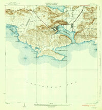
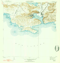
1938 Map of Guanica
USGS Topo · Published 1938About this map
Industrial activity at Central Guanica anchors this coastal survey, showing the intricate relationship between the sugar mill and the sheltered waters of Guanica Harbor. The settlement of Ensenada serves as a company town adjacent to the mill, connected to the wider island by the Guanica Central rail line and Carretera Central No 39 Guanica. The landscape transitions from the heavy industry of the central to the wilder reaches of the Bosque Insular de Guanica Yauco y Guayanilla.
Find a feature on this map
44 named features on this map. Tap any name to fly to it.
Don’t see what you’re looking for? This feature index may not catch every label — zoom into the map to look around manually.
Map Details
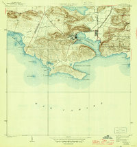
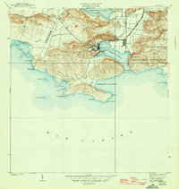
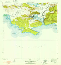
Editions of this 1938 Guanica Map
6 editions found
Other maps of this area

1937 · San German
USGS Topo · 1:25,000

1937 · Sabana Grande
USGS Topo · 1:25,000

1938 · Guanica
USGS Topo · 1:30,000

1938 · Parguera
USGS Topo · 1:30,000

1941 · San German
USGS Topo · 1:30,000

1941 · Sabana Grande
USGS Topo · 1:30,000

1946 · Yauco
USGS Topo · 1:30,000

1946 · Punta Verraco
USGS Topo · 1:30,000
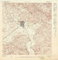
1947 · Yauco SO
USGS Topo · 1:10,000
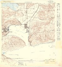
1949 · Guanica NE
USGS Topo · 1:10,000