
1946 Map of Punta Verraco
USGS Topo · Published 1946About this map
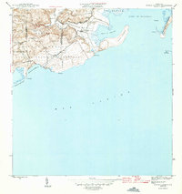
The Central San Francisco sugar mill stands as a prominent industrial landmark on this mid-1940s coastal survey, situated near the mouth of the Río Yauco. This area of southwestern Puerto Rico exhibits a landscape where the Porto Rico RR skirts the base of the hills, connecting the sugar industry to the sheltered waters of the Bahía de Guayanilla. Much of the rugged coastline is preserved within the Bosque Insular de Guánica y Guayanilla, showcasing a transition from the mountainous interior to the coral-fringed Caribbean shore.
Find a feature on this map
25 named features on this map. Tap any name to fly to it.
Don’t see what you’re looking for? This feature index may not catch every label — zoom into the map to look around manually.
Map Details
Editions of this 1946 Punta Verraco Map
3 editions found
Other maps of this area

1937 · Sabana Grande
USGS Topo · 1:25,000

1938 · Guanica
USGS Topo · 1:30,000

1941 · Sabana Grande
USGS Topo · 1:30,000

1946 · Punta Cuchara
USGS Topo · 1:30,000

1946 · Yauco
USGS Topo · 1:30,000

1946 · Penuelas
USGS Topo · 1:30,000
1947 · Yauco SE
USGS Topo · 1:10,000
1947 · Yauco SO
USGS Topo · 1:10,000
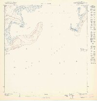
1947 · Punta Verraco NE
USGS Topo · 1:10,000
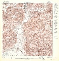
1947 · Penuelas SO
USGS Topo · 1:10,000