
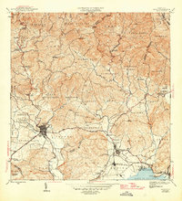
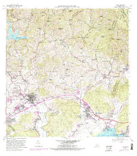
1946 Map of Yauco
USGS Topo · Published 1946About this map
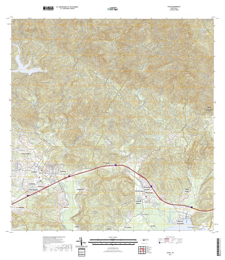
The town of Yauco sits at the base of the Cordillera Central, serving as a hub for the agricultural valleys and mountainous coffee-growing regions in the mid-1940s. The landscape is defined by the steep elevation changes between the Río Yauco and peaks such as Pico Rodadero. This era of Puerto Rican history is visible through the concentration of agricultural estates or haciendas, including Hacienda Pintado, Hacienda Mogote, and Hacienda Catalina, which signify the long-standing land-use patterns of the region. Near the coast, the industrial influence of sugar production is evident at the Central Rufina mill near Guayanilla.
Find a feature on this map
44 named features on this map. Tap any name to fly to it.
Don’t see what you’re looking for? This feature index may not catch every label — zoom into the map to look around manually.
Map Details
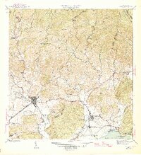
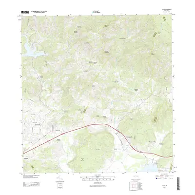
Editions of this 1946 Yauco Map
3 editions found
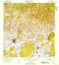
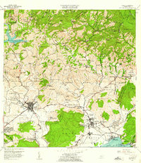
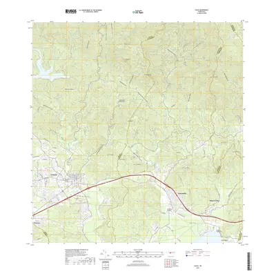
Historical Maps of Yauco Through Time
7 maps found
Featured Locations
- Guayanilla, Guayanilla
- Sector Palos Blancos, Yauco
- Vistas del Rodadero, Yauco
- Yauco, Yauco
- Sector E1, Yauco