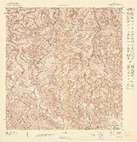
1947 Map of Yauco NE
USGS Topo · Published 1947About this map
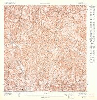
The interior highlands of Guayanilla and Yauco are defined here by steep ridges and a complex network of waterways, surveyed just as Puerto Rico’s agricultural landscape was undergoing post-war transition. Agricultural history is anchored by the presence of Hacienda Mogote and Hacienda Catalina, reflecting the importance of coffee and sugar production in these mountain corridors. The Río Guayanilla and Río Macaná drain the rugged terrain, while the northeastern corner of the map touches the protected Bosque Insular de Guilarte. In the southern portion of the survey, the Escuela Segunda Unidad de Santo Domingo stands as a focal point for the local community, situated where the valley begins to widen.
Find a feature on this map
13 named features on this map. Tap any name to fly to it.
Don’t see what you’re looking for? This feature index may not catch every label — zoom into the map to look around manually.
Map Details
Editions of this 1947 Yauco NE Map
This is the sole edition of this map. No revisions or reprints were ever made.
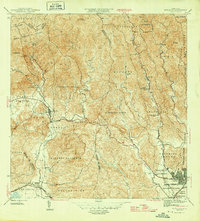
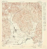
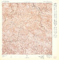
Other maps of this area

1946 · Yauco
USGS Topo · 1:30,000

1946 · Monte Guilarte
USGS Topo · 1:30,000
1946 · Penuelas
USGS Topo · 1:30,000

1946 · Adjuntas
USGS Topo · 1:30,000
1947 · Yauco SE
USGS Topo · 1:10,000
1947 · Monte Guilarte SO
USGS Topo · 1:10,000

1947 · Yauco SO
USGS Topo · 1:10,000

1947 · Adjuntas SO
USGS Topo · 1:10,000
1947 · Yauco NO
USGS Topo · 1:10,000
1947 · Penuelas NO
USGS Topo · 1:10,000