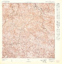
1947 Map of Monte Guilarte SO
USGS Topo · Published 1947About this map
The Cordillera Central defines this landscape where the high peaks of the central mountain range meet the headwaters of numerous river systems. Grounded in the coffee-growing heritage of the mid-20th century, the map reveals an intricate network of agricultural estates, including Hacienda Juanita, Hacienda Indiera, and Hacienda Maria Antonia. These haciendas represent the economic heart of the region, clustered along the steep slopes near Monte Membrillo.
Find a feature on this map
32 named features on this map. Tap any name to fly to it.
Don’t see what you’re looking for? This feature index may not catch every label — zoom into the map to look around manually.
Map Details
Editions of this 1947 Monte Guilarte SO Map
This is the sole edition of this map. No revisions or reprints were ever made.
Other maps of this area

1937 · Sabana Grande
USGS Topo · 1:25,000

1941 · Sabana Grande
USGS Topo · 1:30,000

1946 · Maricao
USGS Topo · 1:30,000

1946 · Yauco
USGS Topo · 1:30,000

1946 · Monte Guilarte
USGS Topo · 1:30,000
1947 · Yauco NE
USGS Topo · 1:10,000
1947 · Monte Guilarte NE
USGS Topo · 1:10,000
1947 · Maricao NE
USGS Topo · 1:10,000
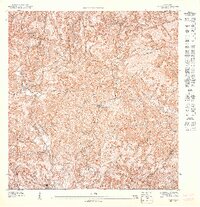
1947 · Yauco NO
USGS Topo · 1:10,000
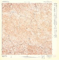
1947 · Monte Guilarte SE
USGS Topo · 1:10,000