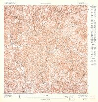
1947 Map of Yauco NO
USGS Topo · Published 1947About this map
The interior highlands of southwestern Puerto Rico are defined here by a dense network of mountain streams and steep ridges, mapped during a period of transition in the mid-1940s. The Municipio de Yauco and Municipio de Maricao border runs through this elevation-rich landscape, where agricultural tradition is evidenced by the presence of Hacienda Pintado in the northern sector. The rural community structure of the era is anchored by educational landmarks like the Escuela Lluveras and the Escuela Segunda Unidad de Duey, which served families scattered throughout these narrow valleys.
Find a feature on this map
16 named features on this map. Tap any name to fly to it.
Don’t see what you’re looking for? This feature index may not catch every label — zoom into the map to look around manually.
Map Details
Editions of this 1947 Yauco NO Map
This is the sole edition of this map. No revisions or reprints were ever made.
Other maps of this area

1937 · Sabana Grande
USGS Topo · 1:25,000

1941 · Sabana Grande
USGS Topo · 1:30,000

1946 · Maricao
USGS Topo · 1:30,000

1946 · Yauco
USGS Topo · 1:30,000

1946 · Monte Guilarte
USGS Topo · 1:30,000
1947 · Yauco NE
USGS Topo · 1:10,000
1947 · Yauco SE
USGS Topo · 1:10,000
1947 · Monte Guilarte SO
USGS Topo · 1:10,000
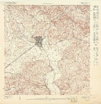
1947 · Yauco SO
USGS Topo · 1:10,000
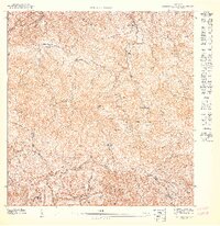
1947 · Monte Guilarte SE
USGS Topo · 1:10,000