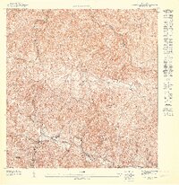
1947 Map of Monte Guilarte NE
USGS Topo · Published 1947About this map
Coffee haciendas and mountainous terrain define this 1940s landscape in the central cordillera. Hacienda Rivera, Hacienda San Jose, and Hacienda Ripoll are notable agricultural sites, indicating the era's reliance on land-based estates. The settlement pattern follows the intricate valley floors and ridges, with social life centered around institutions like the Iglesia de la Virgen del Carmen and the Escuela Segunda Unidad de Yahuecas. The boundary between the Municipio de Adjuntas and Municipio de Utuado winds through the northern portion of the map, crossing over prominent peaks such as Cerro Palo Seco and Cerro Roncador. Numerous watercourses, including the Rio Yahuecas and Rio Limani, carve through the steep elevation, which is meticulously detailed with five-meter contour intervals.
Find a feature on this map
20 named features on this map. Tap any name to fly to it.
Don’t see what you’re looking for? This feature index may not catch every label — zoom into the map to look around manually.
Map Details
Editions of this 1947 Monte Guilarte NE Map
This is the sole edition of this map. No revisions or reprints were ever made.
Other maps of this area

1946 · Utuado
USGS Topo · 1:30,000

1946 · Bayaney
USGS Topo · 1:30,000

1946 · Monte Guilarte
USGS Topo · 1:30,000

1946 · Adjuntas
USGS Topo · 1:30,000
1947 · Monte Guilarte SO
USGS Topo · 1:10,000
1947 · Adjuntas NO
USGS Topo · 1:10,000
1947 · Adjuntas SO
USGS Topo · 1:10,000
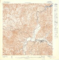
1947 · Utuado SO
USGS Topo · 1:10,000
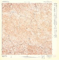
1947 · Monte Guilarte SE
USGS Topo · 1:10,000
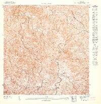
1947 · Monte Guilarte NO
USGS Topo · 1:10,000
Featured Places
- Sector Palo Seco, Adjuntas
- Sector Jiménez Santiago, Adjuntas
- Sector Titulo Quinto, Adjuntas
- Utuado
- Adjuntas