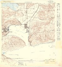
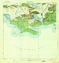
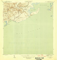
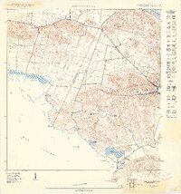
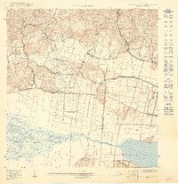
1949 Map of Guanica NE
USGS Topo · Published 1949About this map
The industrial and maritime activity of the southwest coast defines this 1949 survey. Dominating the western shore of the Bahía de Guánica, the Central Guánica sugar mill and the adjacent town of Ensenada serve as the economic anchor for the region. The landscape is a study in contrasts, ranging from the low-lying ciénaga and Laguna de Guánica in the north to the limestone heights of Cerro Caprón and Cerro de Abra.
Find a feature on this map
35 named features on this map. Tap any name to fly to it.
Don’t see what you’re looking for? This feature index may not catch every label — zoom into the map to look around manually.
Map Details
Editions of this 1949 Guanica NE Map
This is the sole edition of this map. No revisions or reprints were ever made.
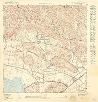
Other maps of this area

1937 · Sabana Grande
USGS Topo · 1:25,000
1938 · Guanica
USGS Topo · 1:30,000

1941 · Sabana Grande
USGS Topo · 1:30,000

1946 · Yauco
USGS Topo · 1:30,000
1946 · Punta Verraco
USGS Topo · 1:30,000

1947 · Yauco SO
USGS Topo · 1:10,000
1949 · Guanica
USGS Topo · 1:10,000
1949 · Sabana Grande SO
USGS Topo · 1:10,000
1949 · Sabana Grande SE
USGS Topo · 1:10,000
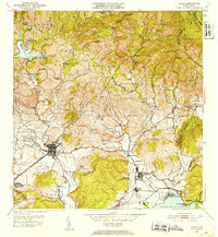
1952 · Yauco
USGS Topo · 1:30,000