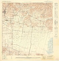
1949 Map of Sabana Grande SO
USGS Topo · Published 1949About this map
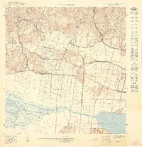
The American Railroad Company of Porto Rico cuts across the center of this 1949 topographic landscape, linking the sugar-producing regions between Lajas and Guánica. This industrial artery is anchored by Estación La Plata and Estación Limón, serving a terrain characterized by the expansive Valle de Lajas and the seasonal wetlands of the Cienaga de Anegado. To the south, the waters of the Laguna de Guánica dominate the coastal edge, while the northern hills rise toward peaks like Cerro de los Bonelli and Cerro Franchoni. Community life is centered around landmarks such as Iglesia La Pica and the Escuela Thomas Edison. This survey captures the agricultural and transit patterns of southwest Puerto Rico at mid-century, just as local infrastructure was beginning to modernize around the traditional municipal boundaries of Lajas and Guánica.
Find a feature on this map
25 named features on this map. Tap any name to fly to it.
Don’t see what you’re looking for? This feature index may not catch every label — zoom into the map to look around manually.
Map Details
Editions of this 1949 Sabana Grande SO Map
This is the sole edition of this map. No revisions or reprints were ever made.
Other maps of this area

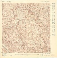
1937 · San German
USGS Topo · 1:25,000

1937 · Sabana Grande
USGS Topo · 1:25,000
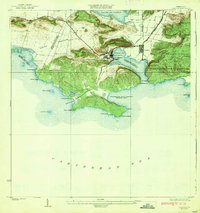
1938 · Guanica
USGS Topo · 1:30,000

1938 · Parguera
USGS Topo · 1:30,000

1941 · San German
USGS Topo · 1:30,000

1941 · Sabana Grande
USGS Topo · 1:30,000
1949 · Sabana Grande NE
USGS Topo · 1:10,000
1949 · Guanica NE
USGS Topo · 1:10,000
1949 · San German SE
USGS Topo · 1:10,000
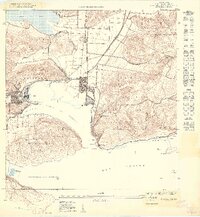
1949 · Guanica
USGS Topo · 1:10,000