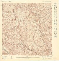
1949 Map of Sabana Grande NE
USGS Topo · Published 1949About this map
The Bosque Insular de Susúa dominates this 1949 topographic study of the mountains between Sabana Grande and Yauco. The map reveals a landscape defined by the drainage basins of the Río Yauco and Río Loco, where small agricultural communities and barrio centers are connected by winding mountain roads. This period of Puerto Rican history is captured in the presence of local institutions such as the Iglesia San Miguel Arcángel and the Escuela Collores No. 1, which served the rural population in the years following World War II. High points like Pico Fraile and the densely contoured ridges of Frailes and Rancheras contrast with the activity centered around Campamento Susúa, reflecting the era's focus on forest management and local infrastructure in the interior highlands.
Find a feature on this map
25 named features on this map. Tap any name to fly to it.
Don’t see what you’re looking for? This feature index may not catch every label — zoom into the map to look around manually.
Map Details
Editions of this 1949 Sabana Grande NE Map
This is the sole edition of this map. No revisions or reprints were ever made.
Other maps of this area

1937 · Sabana Grande
USGS Topo · 1:25,000

1941 · Sabana Grande
USGS Topo · 1:30,000

1946 · Maricao
USGS Topo · 1:30,000

1946 · Yauco
USGS Topo · 1:30,000

1946 · Monte Guilarte
USGS Topo · 1:30,000
1947 · Monte Guilarte SO
USGS Topo · 1:10,000
1947 · Maricao SO
USGS Topo · 1:10,000
1947 · Yauco SO
USGS Topo · 1:10,000
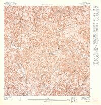
1947 · Yauco NO
USGS Topo · 1:10,000
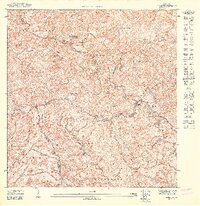
1947 · Maricao SE
USGS Topo · 1:10,000
Featured Places
- Sector Palmas Gordas, Yauco
- Sector El Túnel, Yauco
- Sector Facio, Yauco
- Sector Los Berrocales, Yauco
- Yauco