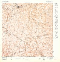
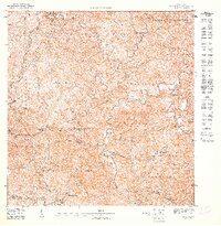
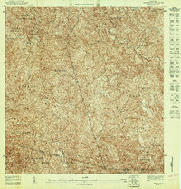
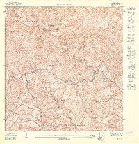
1947 Map of Maricao SO
USGS Topo · Published 1947About this map
The mountain town of Maricao sits at the northern edge of this 1940s topographic survey, serving as a hub for the surrounding coffee-growing region and the expansive Bosque Insular de Maricao. The landscape is defined by the high ridges of the Cordillera Central, where the Cerro Santa Ana Tower overlooks deep river valleys carved by the Río Maricao and Río Guaba. This map preserves the agricultural layout of the era, identifying individual estates such as Hacienda Santa Rita and Hacienda Nueva Dolores, which were central to local life and the regional economy.
Find a feature on this map
32 named features on this map. Tap any name to fly to it.
Don’t see what you’re looking for? This feature index may not catch every label — zoom into the map to look around manually.
Map Details
Editions of this 1947 Maricao SO Map
This is the sole edition of this map. No revisions or reprints were ever made.
Other maps of this area

1937 · San German
USGS Topo · 1:25,000

1937 · Sabana Grande
USGS Topo · 1:25,000

1941 · San German
USGS Topo · 1:30,000

1941 · Sabana Grande
USGS Topo · 1:30,000

1941 · Rosario
USGS Topo · 1:30,000

1942 · Rosario
USGS Topo · 1:30,000

1946 · Maricao
USGS Topo · 1:30,000
1947 · Maricao NO
USGS Topo · 1:10,000
1947 · Maricao NE
USGS Topo · 1:10,000
1947 · Maricao SE
USGS Topo · 1:10,000