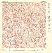
1947 Map of Maricao SE
USGS Topo · Published 1947About this map
The Cordillera Central mountain range dominates this 1947 topographic study, illustrating the intensive agricultural development of Puerto Rico's interior highlands during the mid-twentieth century. A network of prominent estates, including Hacienda La Vega, Hacienda Esperanza, and Hacienda La Luisa, are established along the steep slopes and river valleys of Bucarabones and Frailes. These landholdings, likely centers of coffee production, are linked by a complex web of roads and trails crossing the Rio Maricao and Rio Yauco.
Find a feature on this map
35 named features on this map. Tap any name to fly to it.
Don’t see what you’re looking for? This feature index may not catch every label — zoom into the map to look around manually.
Map Details
Editions of this 1947 Maricao SE Map
This is the sole edition of this map. No revisions or reprints were ever made.
Other maps of this area

1937 · Sabana Grande
USGS Topo · 1:25,000

1941 · Sabana Grande
USGS Topo · 1:30,000

1946 · Maricao
USGS Topo · 1:30,000

1946 · Yauco
USGS Topo · 1:30,000

1946 · Monte Guilarte
USGS Topo · 1:30,000
1947 · Maricao NO
USGS Topo · 1:10,000
1947 · Monte Guilarte SO
USGS Topo · 1:10,000
1947 · Maricao NE
USGS Topo · 1:10,000
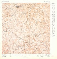
1947 · Maricao SO
USGS Topo · 1:10,000
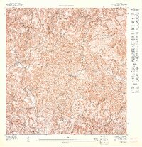
1947 · Yauco NO
USGS Topo · 1:10,000