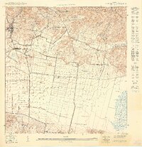
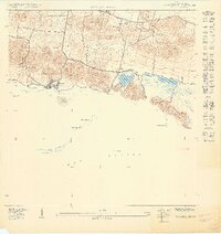
1949 Map of San German SE
USGS Topo · Published 1949About this map
The Valle de Lajas floor is dominated by the industrial and agricultural infrastructure of the late 1940s, notably the American R.R. of Porto Rico line. This rail corridor serves the heart of Lajas, connecting Estación Lajas and Estación Lajas Arriba while passing through productive estates like Hacienda Beatriz Soledad. The landscape shows a sharp transition from the mountainous northern terrain, marked by Cerro La Parra and Cerro Santa Rosa, down to the extensive wetlands of the Ciénaga de Anegado in the southeast.
Find a feature on this map
32 named features on this map. Tap any name to fly to it.
Don’t see what you’re looking for? This feature index may not catch every label — zoom into the map to look around manually.
Map Details
Editions of this 1949 San German SE Map
This is the sole edition of this map. No revisions or reprints were ever made.
Other maps of this area

1937 · San German
USGS Topo · 1:25,000

1937 · Sabana Grande
USGS Topo · 1:25,000

1938 · Guanica
USGS Topo · 1:30,000

1938 · Parguera
USGS Topo · 1:30,000

1941 · San German
USGS Topo · 1:30,000

1941 · Sabana Grande
USGS Topo · 1:30,000
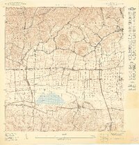
1949 · San German SO
USGS Topo · 1:10,000
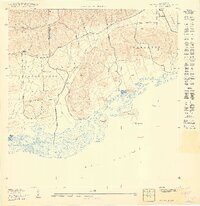
1949 · Parguera NO
USGS Topo · 1:10,000
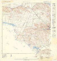
1949 · Guanica
USGS Topo · 1:10,000
1949 · Parguera NE
USGS Topo · 1:10,000