Loading...
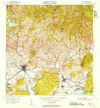
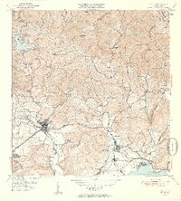
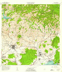
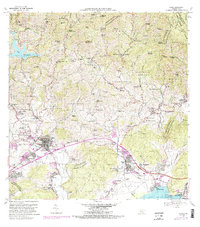
Loading map...1952 Map of Yauco
USGS Topo · Published 1953About this map
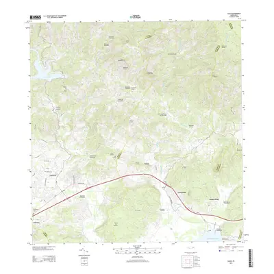
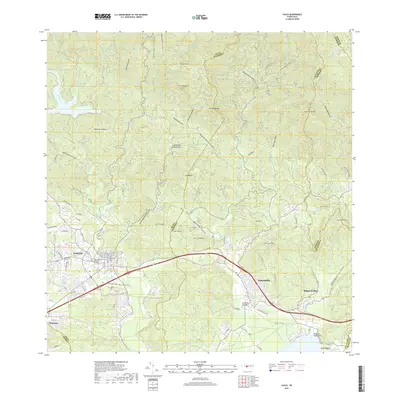
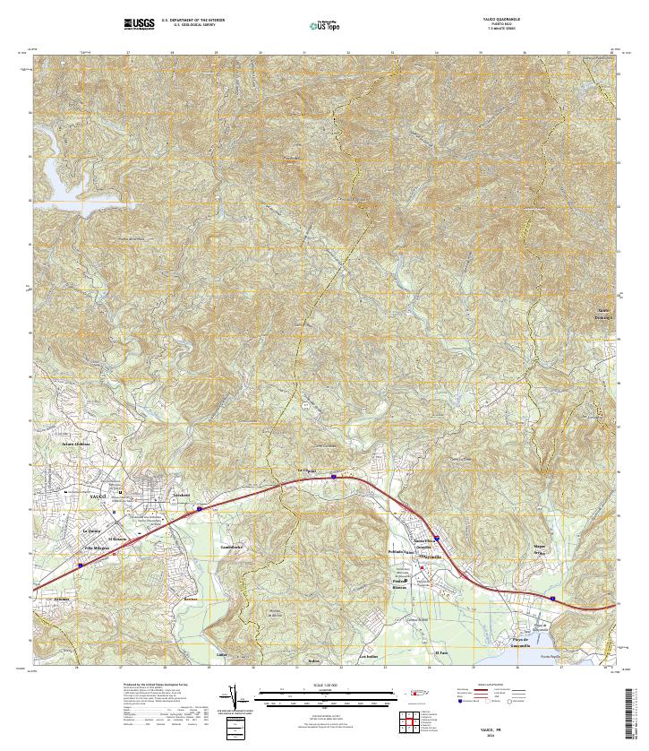
The town of Yauco serves as a hub of activity in this mid-century survey, flanked by its distinct neighborhoods of Pueblo Norte and Pueblo Sud. The landscape transitions from the agricultural highlands, where historic estates like Hacienda Pintado and Hacienda Catalina are situated, down to the industrial coastal area of Guayanilla. The presence of the American Railroad of Puerto Rico and the large Central Rufina sugar mill indicates the era's reliance on rail transport and the sugar economy.
Find a feature on this map
76 named features on this map. Tap any name to fly to it.
Don’t see what you’re looking for? This feature index may not catch every label — zoom into the map to look around manually.
Map Details
Date Portrayed1952
Date Published1953
PublisherU.S. Geological Survey
Map TypeTopographic
Scale1:30,000
Physical Dimensions20 x 21.8 inches
Editions of this 1952 Yauco Map
2 editions found
Historical Maps of Yauco Through Time
7 maps found

Featured Locations
- Guayanilla, Guayanilla
- Sector Palos Blancos, Yauco
- Vistas del Rodadero, Yauco
- Yauco, Yauco
- Sector E1, Yauco
Source Details
SourceU.S. Geological Survey
CopyrightPublic Domain