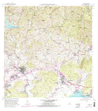
1966 Map of Yauco
USGS Topo · Published 1982About this map
The town of Yauco serves as a hub of activity in this mid-century portrait of southern Puerto Rico, where the urban center gives way to a landscape defined by traditional agriculture and emerging industrial infrastructure. To the north, the terrain rises into the coffee-growing heartland, marked by numerous historic estates such as Hacienda Pintado, Hacienda Roig, and Hacienda Gloria. These haciendas, along with a dense network of rural schools like Escuela Aguas Blancas and Escuela Mogote, reflect the era's social and economic fabric before the shift toward heavier industrialization.
Find a feature on this map
151 named features on this map. Tap any name to fly to it.
Don’t see what you’re looking for? This feature index may not catch every label — zoom into the map to look around manually.
Map Details
Editions of this 1966 Yauco Map
4 editions found
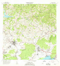
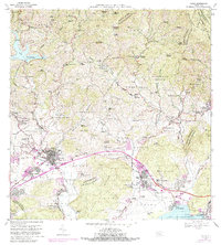
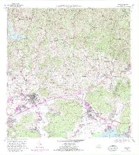
Other maps of this area

1937 · Sabana Grande
USGS Topo · 1:25,000

1938 · Guanica
USGS Topo · 1:30,000

1941 · Sabana Grande
USGS Topo · 1:30,000

1946 · Maricao
USGS Topo · 1:30,000

1946 · Punta Cuchara
USGS Topo · 1:30,000

1946 · Yauco
USGS Topo · 1:30,000

1946 · Monte Guilarte
USGS Topo · 1:30,000

1946 · Punta Verraco
USGS Topo · 1:30,000

1946 · Penuelas
USGS Topo · 1:30,000

1946 · Adjuntas
USGS Topo · 1:30,000