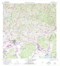
1966 Map of Yauco
USGS Topo · Published 1982About this map
Haciendas and coffee-growing history define the landscape around Yauco in the mid-1960s, stretching from the high ridges of the Cordillera Central down to the Caribbean coast. The area retains its traditional agricultural layout, featuring numerous named estates such as Hacienda Pietri, Hacienda Catalina, and Hacienda Florida. This period shows the transition from historic landholdings to modern infrastructure, exemplified by the Presa Antonio Lucchetti and its reservoir, Lago Lucchetti, which managed water for the valley's development.
Find a feature on this map
139 named features on this map. Tap any name to fly to it.
Don’t see what you’re looking for? This feature index may not catch every label — zoom into the map to look around manually.
Map Details
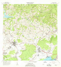
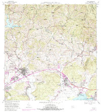
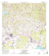
Editions of this 1966 Yauco Map
4 editions found
Other maps of this area

1937 · Sabana Grande
USGS Topo · 1:25,000

1938 · Guanica
USGS Topo · 1:30,000

1941 · Sabana Grande
USGS Topo · 1:30,000

1946 · Maricao
USGS Topo · 1:30,000

1946 · Punta Cuchara
USGS Topo · 1:30,000

1946 · Yauco
USGS Topo · 1:30,000

1946 · Monte Guilarte
USGS Topo · 1:30,000

1946 · Punta Verraco
USGS Topo · 1:30,000

1946 · Penuelas
USGS Topo · 1:30,000

1946 · Adjuntas
USGS Topo · 1:30,000