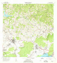
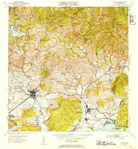
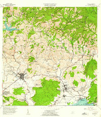
1966 Map of Yauco
USGS Topo · Published 1968About this map
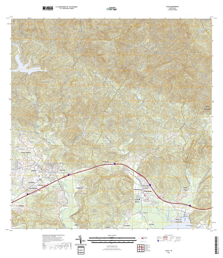
Yauco serves as the focal point for this mid-century survey, revealing a landscape where traditional agricultural estates meet the developing industrial infrastructure of the southern coast. Numerous historic estates, including Hacienda Pintado, Hacienda Mejias, and Hacienda Roig, are scattered across the northern slopes, reflecting the region's deep ties to coffee and sugar production. These holdings contrast with the industrial activity further south at the Bahia de Guayanilla, where a Refineria de Petroleo and Planta Termoeléctrica mark the transition toward a modern energy economy.
Find a feature on this map
176 named features on this map. Tap any name to fly to it.
Don’t see what you’re looking for? This feature index may not catch every label — zoom into the map to look around manually.
Map Details
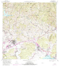
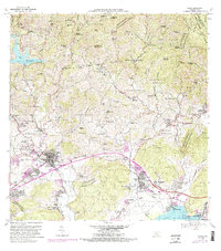
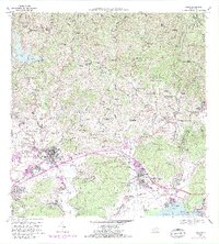
Editions of this 1966 Yauco Map
4 editions found
Historical Maps of Yauco Through Time
7 maps found

Featured Locations
- Guayanilla, Guayanilla
- Sector Palos Blancos, Yauco
- Vistas del Rodadero, Yauco
- Yauco, Yauco
- Sector E1, Yauco