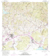
1966 Map of Yauco
USGS Topo · Published 1982About this map
The town of Yauco serves as a focal point for this southern Puerto Rico landscape, where the transition from the mountainous Cordillera Central to the Caribbean coast is marked by an intricate network of agricultural estates and emerging industry. Significant landholdings such as Hacienda Fernández Rosal, Hacienda Pintado, and Hacienda Gloria are scattered across the northern slopes, reflecting the region's enduring plantation history. The southern sector is increasingly industrialized, centered on the Central Rufina sugar mill and the coastal facilities near Playa de Guayanilla, including a Planta Termoeléctrica and a Refinería de Petróleo. Water management is vital to this topography, evidenced by the Lago Lucchetti reservoir and its Presa Antonio Lucchetti, which feed hydroelectric and municipal systems like the Planta de Purificación near Pueblo Norte. This document captures a period of growth for neighborhoods like Villa Milagros and Palomas alongside established landmarks like the Cementerio Nuevo Municipal.
Find a feature on this map
145 named features on this map. Tap any name to fly to it.
Don’t see what you’re looking for? This feature index may not catch every label — zoom into the map to look around manually.
Map Details
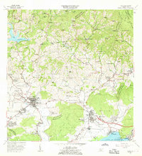
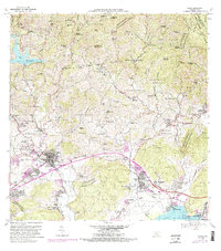
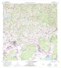
Editions of this 1966 Yauco Map
4 editions found
Other maps of this area

1937 · Sabana Grande
USGS Topo · 1:25,000

1938 · Guanica
USGS Topo · 1:30,000

1941 · Sabana Grande
USGS Topo · 1:30,000

1946 · Maricao
USGS Topo · 1:30,000

1946 · Punta Cuchara
USGS Topo · 1:30,000

1946 · Yauco
USGS Topo · 1:30,000

1946 · Monte Guilarte
USGS Topo · 1:30,000

1946 · Punta Verraco
USGS Topo · 1:30,000

1946 · Penuelas
USGS Topo · 1:30,000

1946 · Adjuntas
USGS Topo · 1:30,000