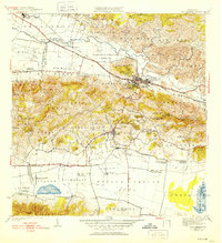
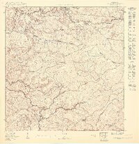
1941 Map of San German
USGS Topo · Published 1952About this map
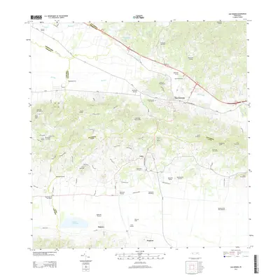
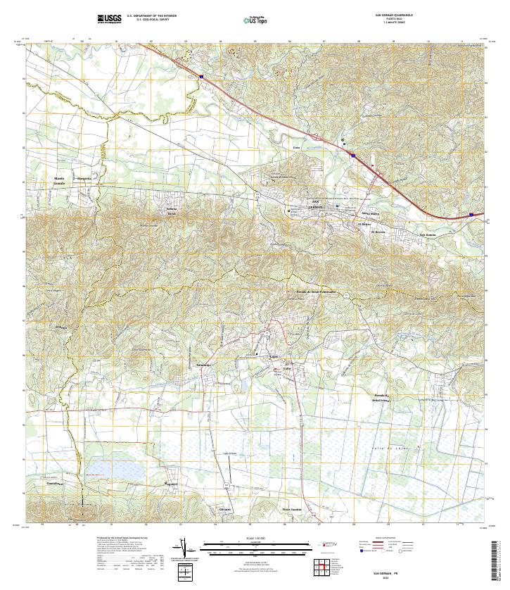
San Germán serves as the focal point of this inland survey, which spans the diverse topography from the northern Rio Guanatibo valley to the lowlands of Laguna Cartagena. The town is intricately detailed, showing its internal division into Pueblo Central, Pueblo Occidental, and Pueblo Oriental. This period is marked by the presence of the American RR and its associated infrastructure, including the Linea Porto Rico and Estacion Lajas.
Find a feature on this map
106 named features on this map. Tap any name to fly to it.
Don’t see what you’re looking for? This feature index may not catch every label — zoom into the map to look around manually.
Map Details
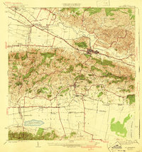
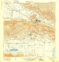
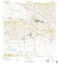
Editions of this 1941 San German Map
5 editions found

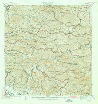
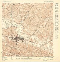
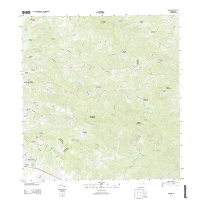
Historical Maps of San Germán Through Time
17 maps found

1937 San German
San Germán Municipio, PR

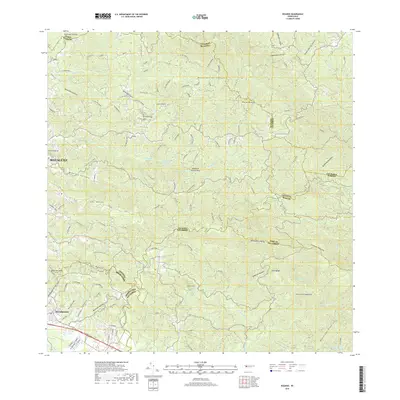
1941 Rosario
San Germán Municipio, PR

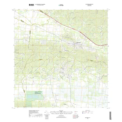
1941 San German
San Germán Municipio, PR
1942 Rosario
San Germán Municipio, PR
1950 Rosario SE
San Germán Municipio, PR
1950 San German NE
San Germán Municipio, PR

1950 San German NO
San Germán Municipio, PR

1955 Rosario
San Germán Municipio, PR

1957 San German
San Germán Municipio, PR

1964 Rosario
San Germán Municipio, PR
1966 San German
San Germán Municipio, PR
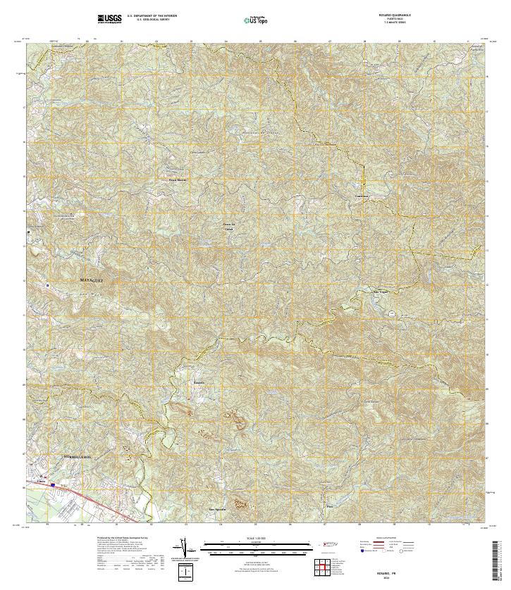
2013 Rosario
San Germán Municipio, PR
2013 San German
San Germán Municipio, PR
2018 Rosario
San Germán Municipio, PR
2018 San German
San Germán Municipio, PR
2024 Rosario
San Germán Municipio, PR
2024 San German
San Germán Municipio, PR
Featured Locations
- San Germán, San Germán
- Sector La Panchita, San Germán
- Palo Solo, San Germán
- Lajas, Lajas
- Sector Los Pardos, Lajas