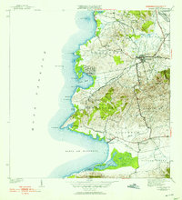
1941 Map of Puerto Real
USGS Topo · Published 1953About this map
Cabo Rojo serves as the inland anchor of this western Puerto Rican coastal landscape, where the American Railroad corridor traces a path through the foothills toward the Valle de Lajas Llanos Costa. The shoreline along the Mona Passage is defined by a series of prominent headlands and sheltered waters, including the bay at Puerto Real and the large Laguna Joyuda. To the south, the village of Boquerón sits at the head of its namesake bay, while the presence of Las Salinas near the coast indicates the enduring importance of salt production to the local economy.
Find a feature on this map
60 named features on this map. Tap any name to fly to it.
Don’t see what you’re looking for? This feature index may not catch every label — zoom into the map to look around manually.
Map Details
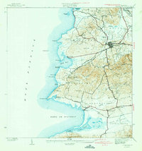
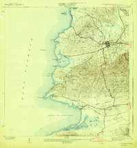
Editions of this 1941 Puerto Real Map
4 editions found
Other maps of this area

1935 · Puerto Real
USGS Topo · 1:25,000

1937 · San German
USGS Topo · 1:25,000

1937 · Puerto Real
USGS Topo · 1:25,000

1938 · Parguera
USGS Topo · 1:30,000

1938 · Cabo Rojo
USGS Topo · 1:30,000

1939 · Mayaguez
USGS Topo · 1:30,000

1941 · San German
USGS Topo · 1:30,000

1941 · Puerto Real
USGS Topo · 1:30,000

1941 · Rosario
USGS Topo · 1:30,000

1942 · Rosario
USGS Topo · 1:30,000
Featured Places
- Cabo Rojo
- Reparto Vista Verde, Cabo Rojo
- Villa Tortuga, Cabo Rojo
- Sector Souchet, Cabo Rojo
- El Fuego y Las Piedras, Cabo Rojo