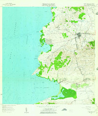
1966 Map of Puerto Real
USGS Topo · Published 1984About this map
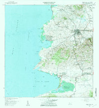
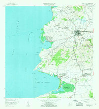
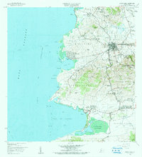
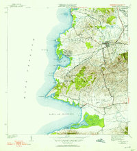
Cabo Rojo serves as the inland anchor for this coastal survey of southwestern Puerto Rico, where the terrain shifts from the urban center of Pueblo Norte and Pueblo Sur to the mangroves and salt flats of the shoreline. The landscape is defined by its transition between agricultural lowlands like Llanos Tuna and the marine environment of Bahía de Boquerón. The infrastructure of the era is clearly visible, including the Ferrocarril and segments of Antigua Via Ferrocarril, alongside local landmarks such as the Capilla del Carmen in Puerto Real and the Escuela Garfield. Natural features such as the Laguna Joyuda and the protected lands of the Bosque Estatal de Boquerón reflect the environmental character of the municipality. The map also captures specialized sites like the Monte Carlo Air Strip and the Refugio de Aves de Boquerón, marking the region's balance of development and conservation in the mid-1960s.
Find a feature on this map
101 named features on this map. Tap any name to fly to it.
Don’t see what you’re looking for? This feature index may not catch every label — zoom into the map to look around manually.
Map Details
Editions of this 1966 Puerto Real Map
3 editions found
Historical Maps of Cabo Rojo Through Time
8 maps found

1935 Puerto Real
Cabo Rojo Municipio, PR

1937 Puerto Real
Cabo Rojo Municipio, PR
1941 Puerto Real
Cabo Rojo Municipio, PR
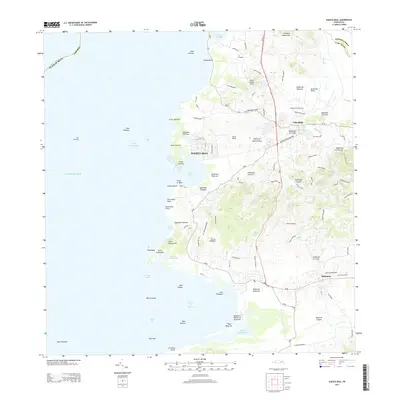
1957 Puerto Real
Cabo Rojo Municipio, PR
1966 Puerto Real
Cabo Rojo Municipio, PR
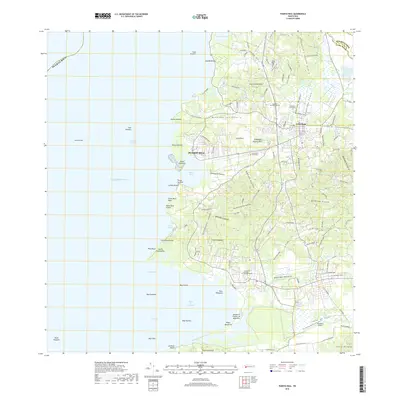
2013 Puerto Real
Cabo Rojo Municipio, PR
2018 Puerto Real
Cabo Rojo Municipio, PR
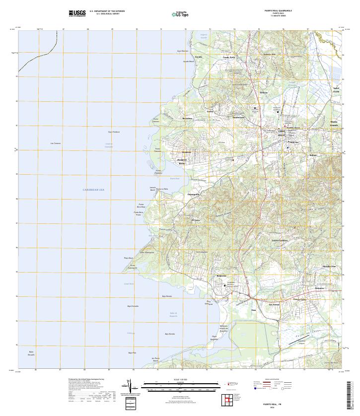
2024 Puerto Real
Cabo Rojo Municipio, PR
Featured Locations
- Cabo Rojo, Cabo Rojo
- Reparto Vista Verde, Cabo Rojo
- Sector Souchet, Cabo Rojo
- El Fuego y Las Piedras, Cabo Rojo
- Villa Tortuga, Cabo Rojo