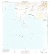
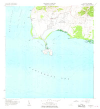
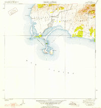
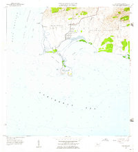
1966 Map of Cabo Rojo
USGS Topo · Published 1985About this map
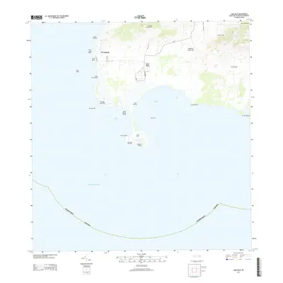
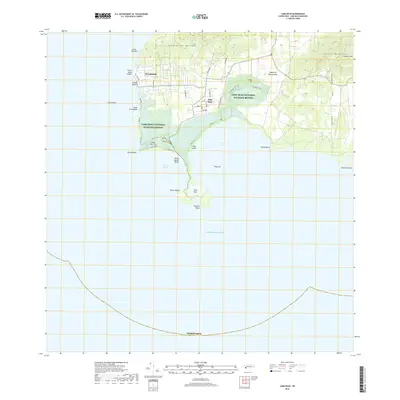
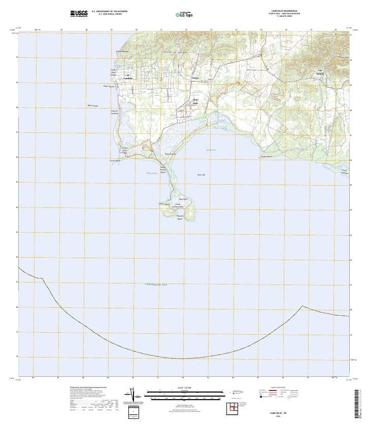
The southwestern tip of Puerto Rico is defined by the striking limestone headland of Cabo Rojo, where the Caribbean Sea meets the Mona Passage. This mid-century coastal landscape is characterized by its extensive Salinas salt pans and the protective reaches of the Bosque Estatal de Boquerón. Settlement patterns are concentrated in villages like El Combate and Pole Ojea, which supported local maritime and agricultural life. The interior rises toward the Sierra Bermeja and Peñones de Melones, while the coastline is punctuated by navigational and communications landmarks, including the historic Faro lighthouse and the Caribbean Bureau of Foreign Broadcast Service with its prominent Antena de Radio. Educational needs for these communities were met at the Escuela Sebastián Pabón Alves, located near the center of the Boquerón district.
Find a feature on this map
28 named features on this map. Tap any name to fly to it.
Don’t see what you’re looking for? This feature index may not catch every label — zoom into the map to look around manually.
Map Details
Editions of this 1966 Cabo Rojo Map
2 editions found
Historical Maps of La Pitahaya Through Time
6 maps found
Featured Locations
- Boquerón, Cabo Rojo
- El Corozo, Cabo Rojo
- Urbanización Paseo Cofresí, Cabo Rojo
- La Pitahaya, Cabo Rojo
- Las Palmas, Cabo Rojo